And 10th National Park Campground Camping!
Four nights camping within the Cumberland Plateau region of Tennessee and Kentucky, characterized by deep gorges cut into sandstone by rivers. Which meant, among other things, that it was “fun” driving here, especially getting here with Lizzy…up and down and around. We came down the west side of the park to avoid the steeper, curvier entrance from the east! Much of the hiking we did could be characterized the same way. But we had 3 Great Days…
Visiting and hiking (~20 miles) in 2 new National Park Sites:
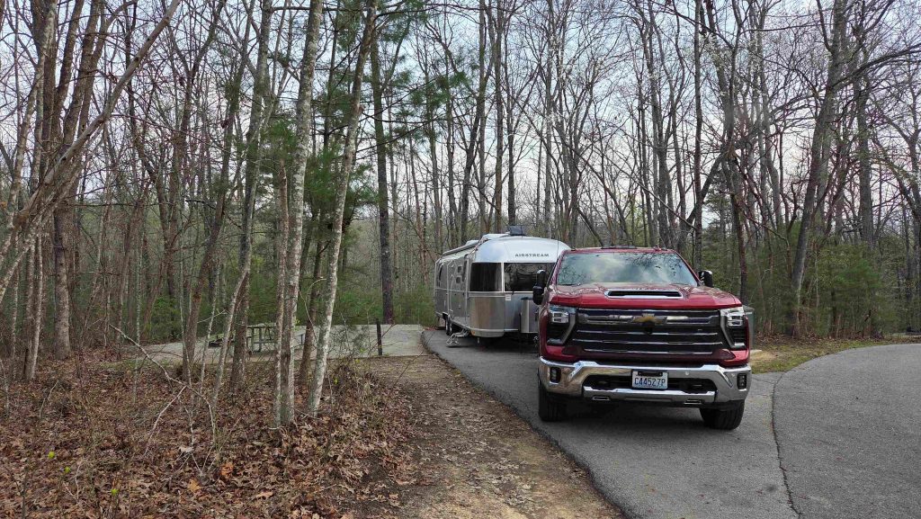
- Big South Fork National River & Recreation Area (#322), encompasses 125,000 acres of the Cumberland Plateau and protects the free-flowing Big South Fork of the Cumberland River and its tributaries. The area boasts miles of scenic gorges and sandstone bluffs, is rich with natural and historic features and has been developed to provide visitors with a wide range of outdoor recreational activities…like steep stairs on trails, to get up/down huge rocks and campgrounds with water and electric! We camped at Bandy Creek, 0.3 miles from the main Visitor Center, a bit to the southern part of the park.
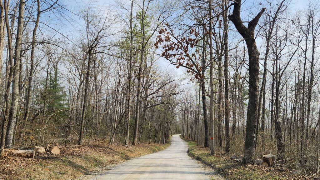
Friday we drove back to the northwest a ways (including 6 miles dirt road) to do the 2.1 loop hike to the Twin Arches. We also did the 4.1 Lower Loop Trail, descending to the Charit Creek Lodge and returning by some spectacular cliffs to the Twin Arches. From there we hike back up to the parking lot by an alternate route (with more stairs!)
Saturday, a gorgeous day, we skipped going north to Kentucky, to do more hiking close by, near the Leatherwood Ford of the Big South Fork. We warmed up on the relatively flat 2-mile Angel Falls Rapid Trail, going down river to what was a 10-12 foot split current waterfall. It is now dangerous rapids, since some fishermen blasted a huge boulder in 1954. Then we drove on up to the East Rim, just above the Ford. There we first checked out the East Rim Overlook. It was also where we started the 3.3-mile Leatherwood Loop Trail, down one side of a ravine back to Leatherwood Ford, along the river a bit, and back up the other side of the ravine. Back at Bandy Creek, we did the flat, 1.3 mile Bandy Creek Loop Trail as a “cool down”.
Big South Fork NRRA-driving in to Twin Arches 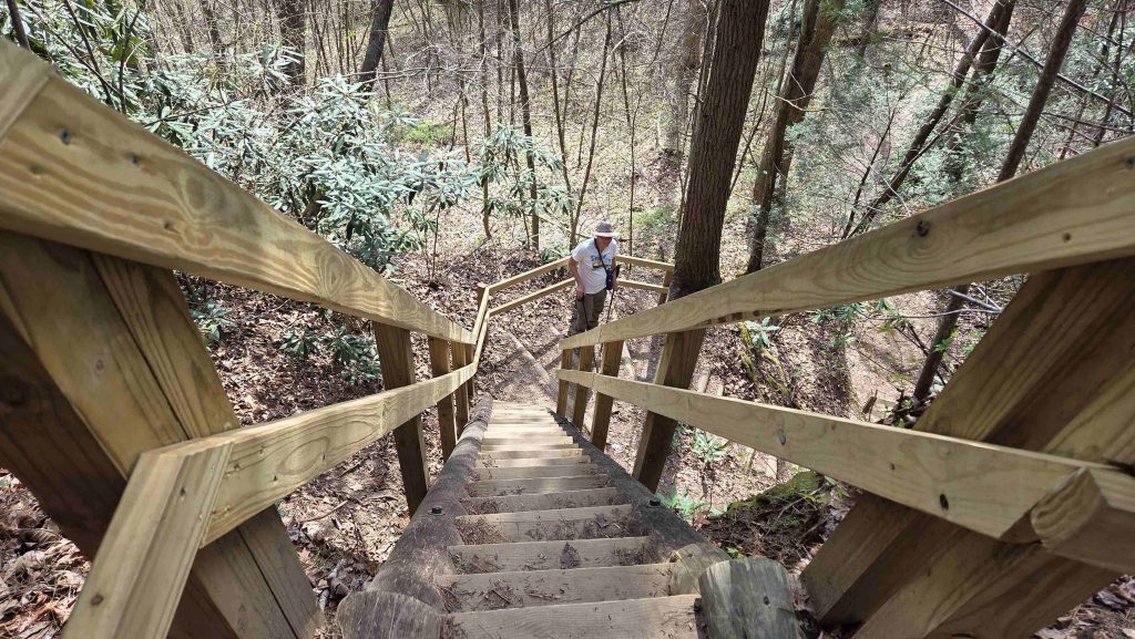
Big South Fork NRRA-hiking down to Twin Arches-we gotta come back up! 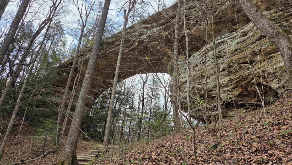
Big South Fork NRRA-the bigger of the Twin Arches 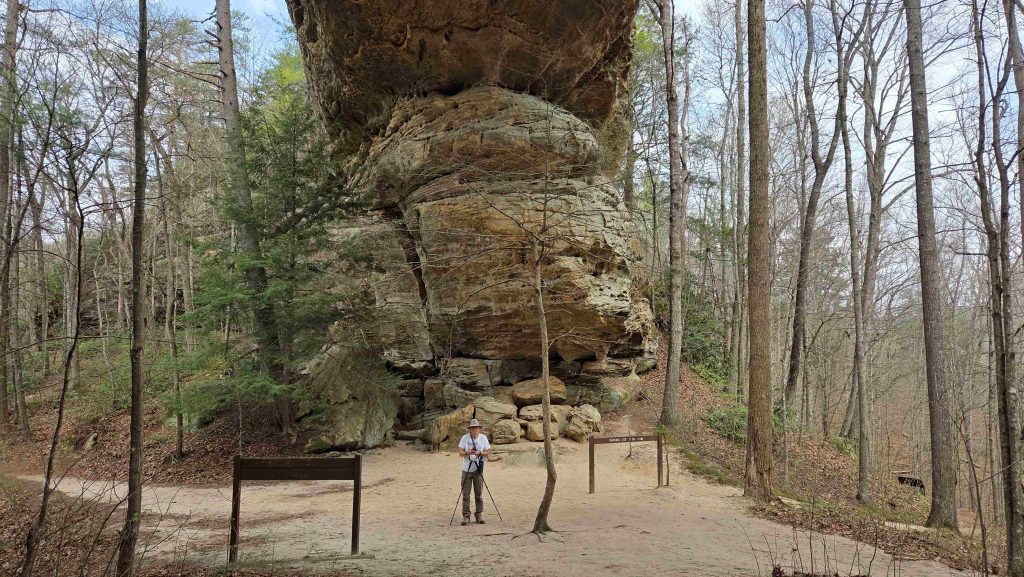
Big South Fork NRRA-Mark under the bigger of the Twin Arches 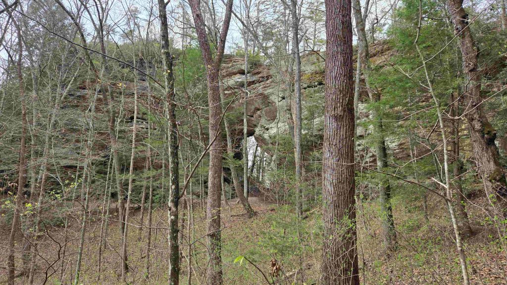
Big South Fork NRRA-the smaller of the Twin Arches 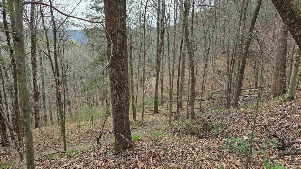
Big South Fork NRRA-down more to Charit Creek Lodge 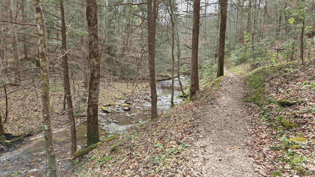
Big South Fork NRRA-hiking along Charit Creek 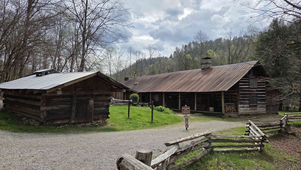
Big South Fork NRRA-Charit Creek Lodge 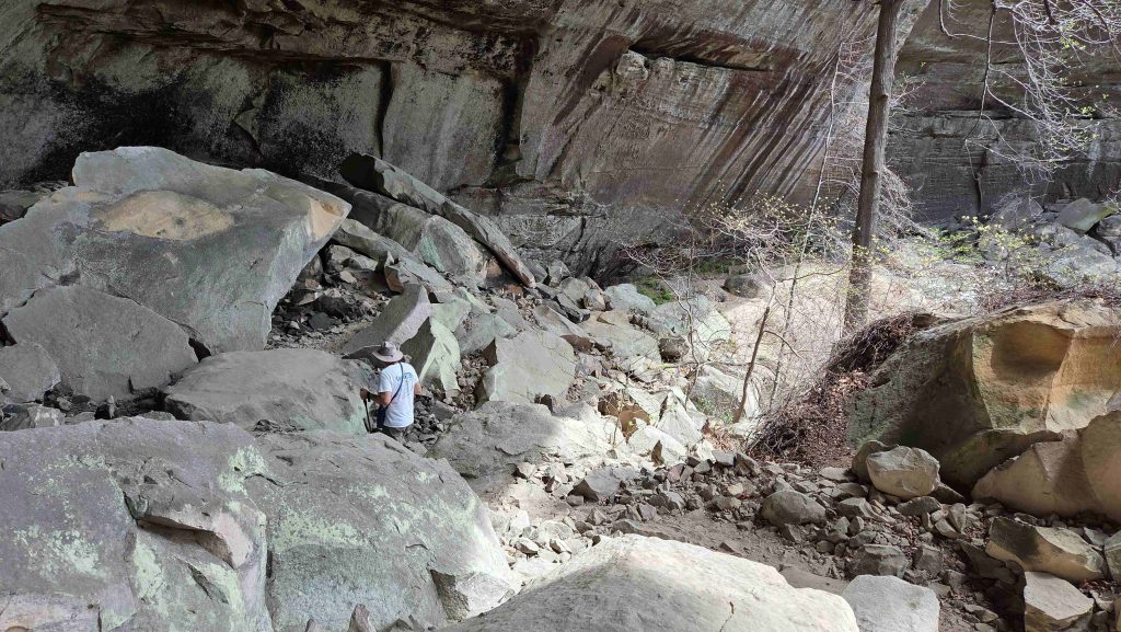
Big South Fork NRRA-back up by big cliffs and sometimes through boulders 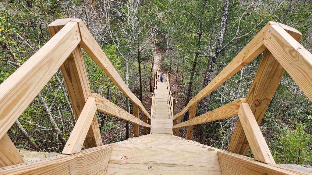
Big South Fork NRRA-last set of stairs back up from the Twin Arches 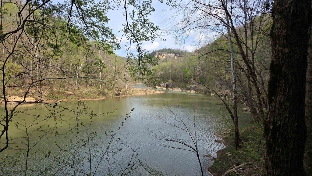
Big South Fork NRRA-on Angel Falls Rapid Trail 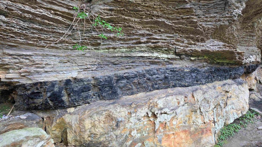
Big South Fork NRRA-exposed coal vein on Angel Falls Rapid Trail 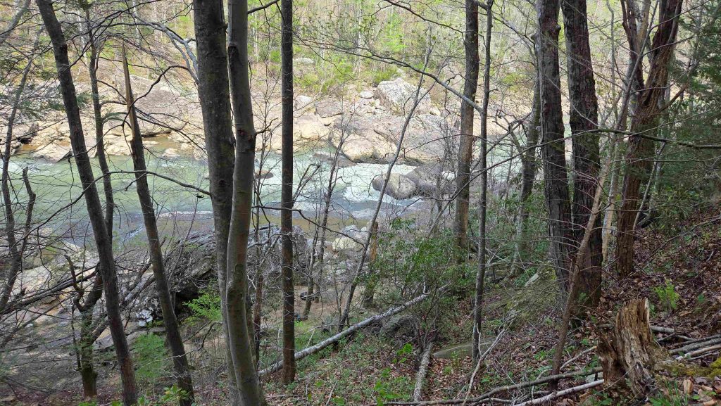
Big South Fork NRRA-peek at Angel Falls Rapids 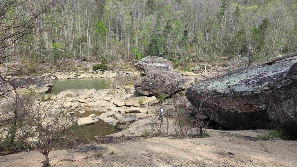
Big South Fork NRRA-on Angel Falls Rapid Trail turn-around just past the rapids 
Big South Fork NRRA-View from the East Rim 
Big South Fork NRRA-switchbacks on Leatherwood Ford Loop Trail not too bad 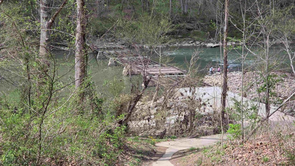
Big South Fork NRRA-old wooden Leatherwood Ford Bridge, wiped out in 2020 flood 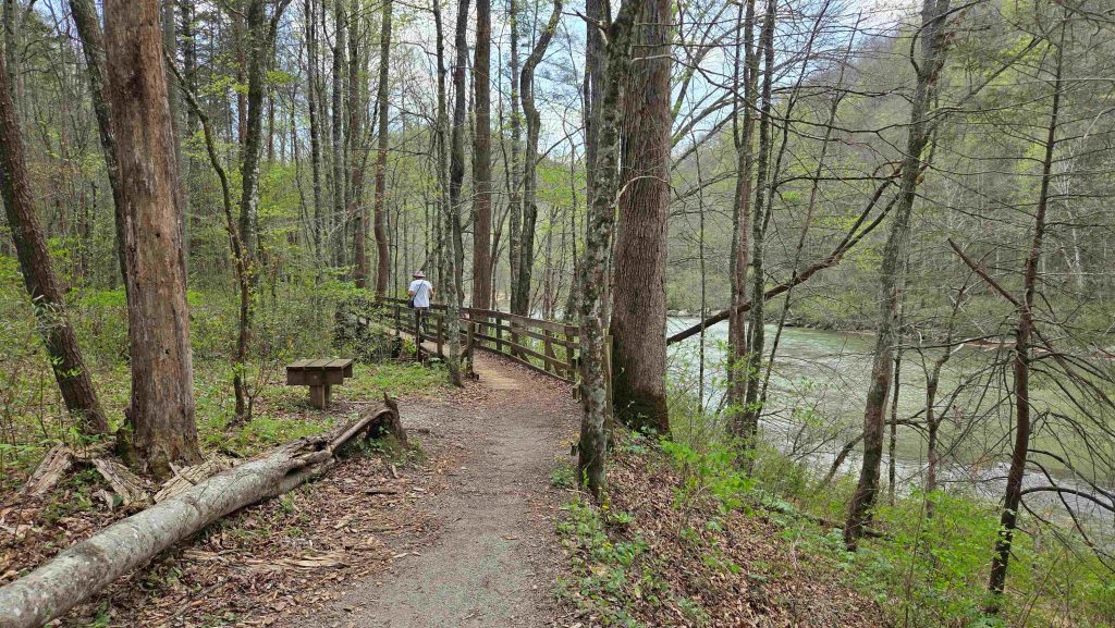
Big South Fork NRRA-a bit of a pleasant respite, hiking along the river on Leatherwood Ford Loop Trail not too bad going back up, either 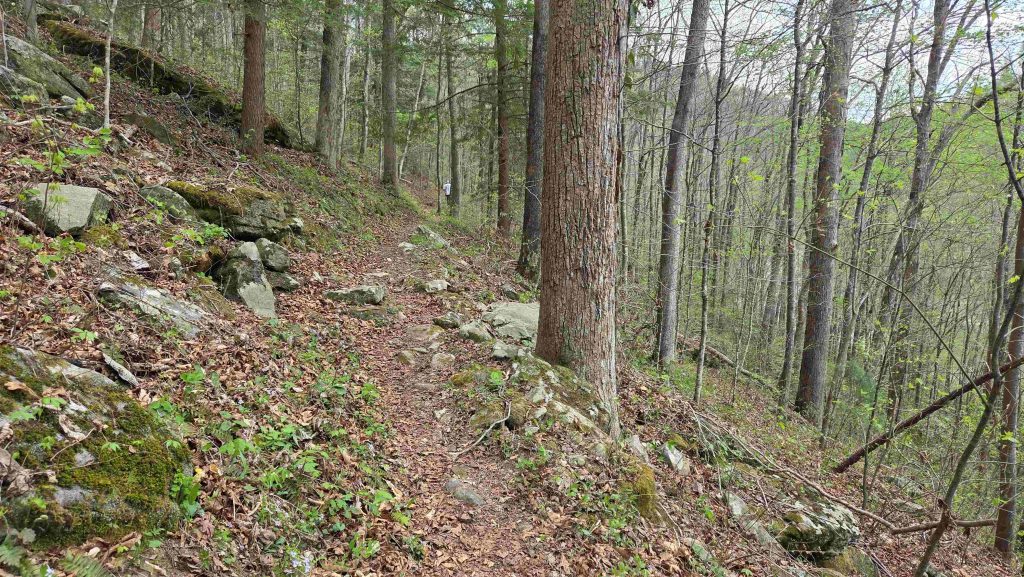
Big South Fork NRRA-switchbacks on Leatherwood Ford Loop Trail not too bad going back up, either
- Obed Wild & Scenic River (#323), which looks much the same today as it did when the first white settlers strolled its banks in the late 1700s. While meagerly populated due to poor farming soil, the river was a hospitable fishing and hunting area for trappers and pioneers. Today, the free-flowing Obed stretches along the Cumberland Plateau, with 500-foot-deep gorges, and encompassing parts of several tributaries and the Emory River, into which the Obed empties…unspoiled rugged terrain.
Yesterday, a 20-25 degree cooler day, we did a day trip south to the Obed, an hour drive to the Visitor Center in Wartburg, TN. Most of our time was spent around Nemo, where we walked across the Emory River on the old railroad bridge and did the Nature hike there. Back across the river, we hiked up it to its confluence with the Obed River. Last stop was to Lily Bluff, where we took a short hike to a great overlook, above where Clear Creek empties into the Obed. Only ~4 mile hiking day.
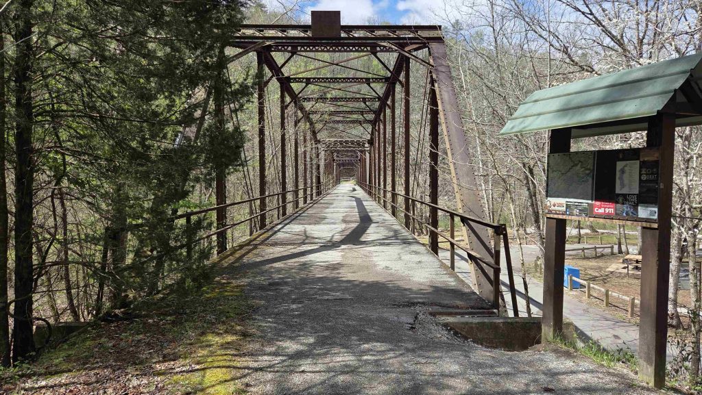
Obed Wild & Scenic River-old Nemo railroad bridge, across the Emory River 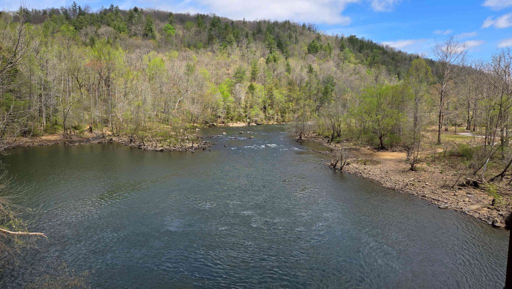
Obed Wild & Scenic River-Emory River from the Memo Bridge 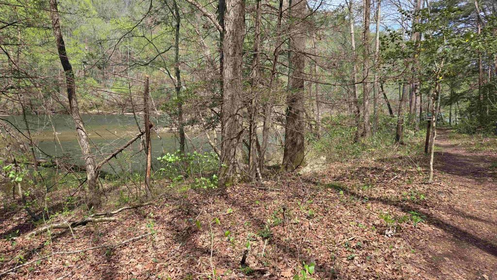
Obed Wild & Scenic River-old Nemo railroad bridge, now hiking down the Emory River 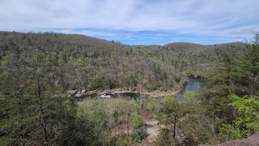
Obed Wild & Scenic River-at Nemo-View of Emory River Confluence with the Obed 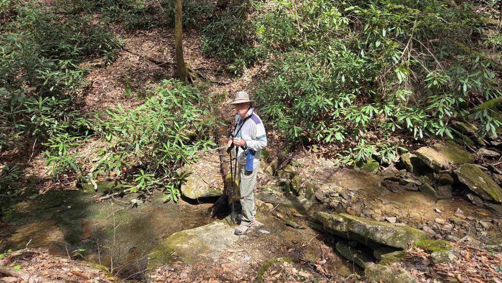
Obed Wild & Scenic River-at Nemo-Mark at trails end, just past the view of the Confluence 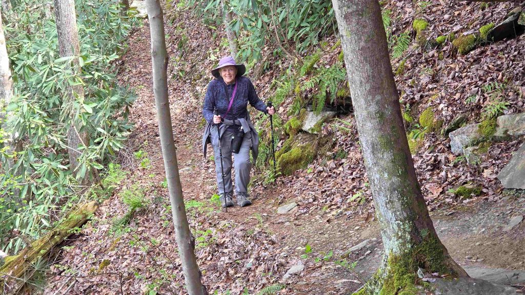
Obed Wild & Scenic River-at Nemo-Gail hiking back down…happy it’s a cooler day… 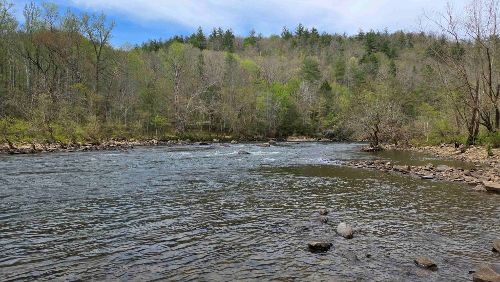
Obed Wild & Scenic River-Picnic in Nemo on the Emory River 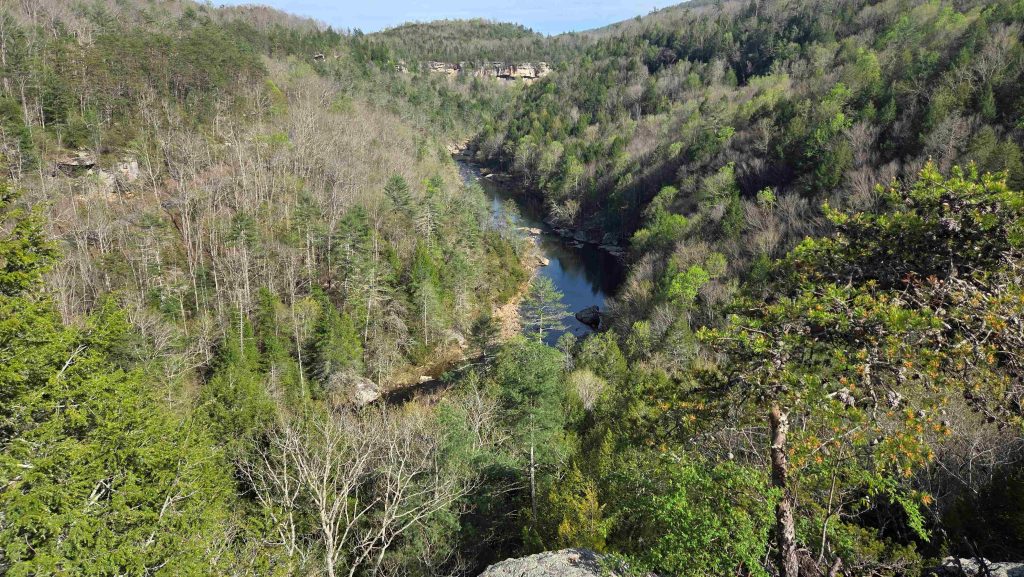
Obed Wild & Scenic River-View from Lily Bluff Overlook
Too Short a Stop at this Hidden Gem!
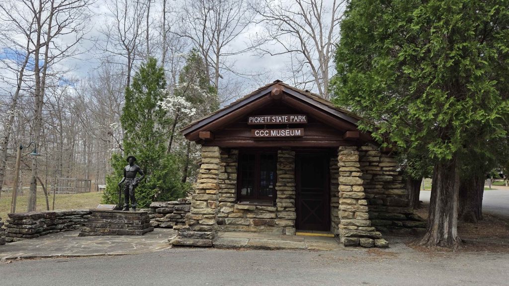
.As one ranger said, it’s a lot like the Smokies, with 10% of the visitors! So much to do/see. We never even got to the Kentucky portion of the Big South Fork, home to Blue Heron, the old Coal Mining site. We’d like to return for a week or two sometime to explore, hike and maybe even boat more of the area, including the many Tennessee State Parks here. (We did visit the Pickett CCC Memorial State Park’s CCC Museum.) And it must be in the summer, when the Blue Heron Interpretive Center is open.
Have now moved on to Cumberland Gap
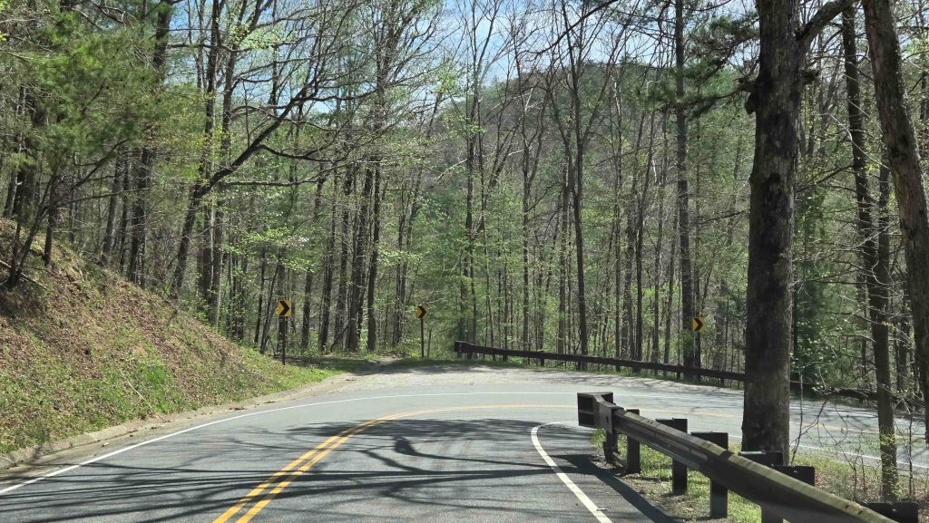
…on the Tri-State Border of Kentucky, Tennessee, Virginia! Since Cumberland Gap is East of the Big South Fork, we exited the park going east. Hence Mark drove Lizzy out through that steeper, curvier entrance, which we now know is steep, from going down to the river at Leatherwood Ford and back up the other side to Oneida. Strangely, not as back heading east as it would have been going west, due to rock formations. Also “better” when you get it out of the way at the beginning of a drive, rather than at the end. The rest of the way to Cumberland Gap was a relative breeze.


0 Comments