And more Cold and Snow!
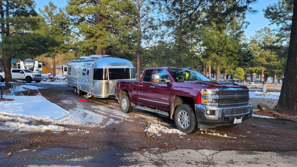
…no questions about why I-40 had been closed
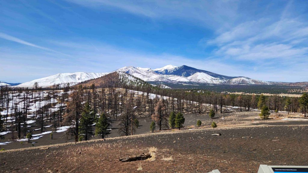
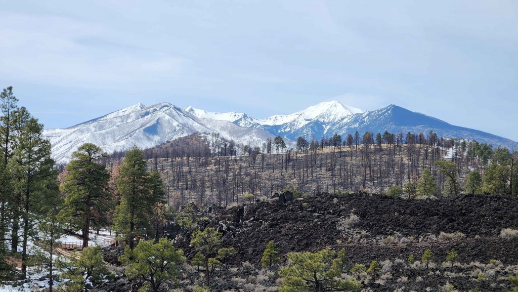
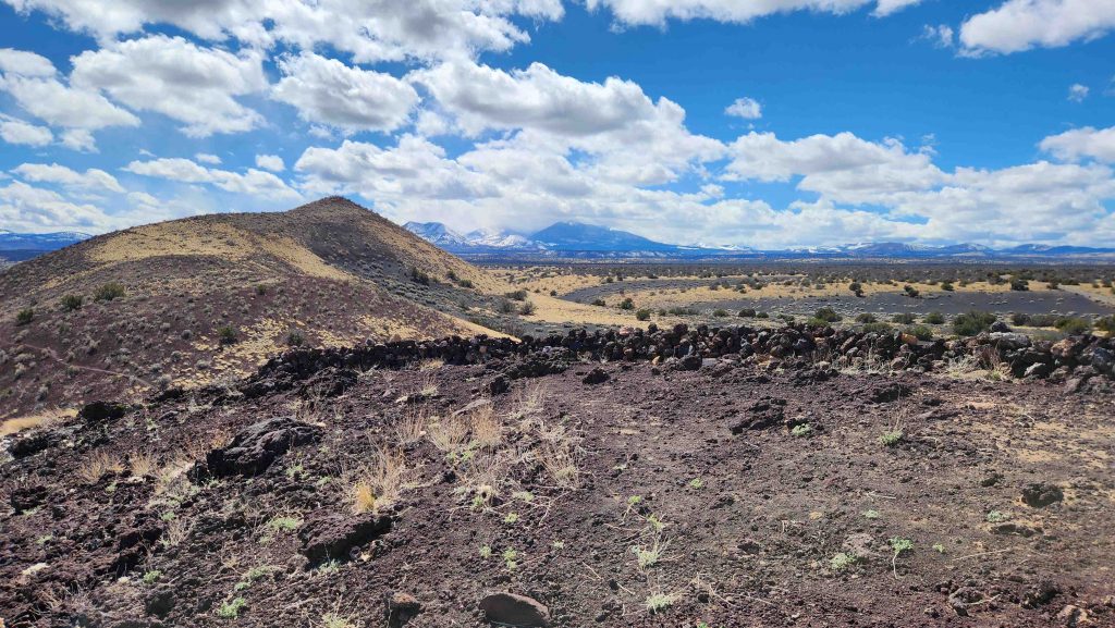
Who knew there was a Volcanic Field in northern Arizona, covering 1,800 square miles, containing 600 volcanoes? Not us! The San Francisco Volcanic Field is an area of volcanoes north of Flagstaff, on the southern boundary of the Colorado Plateau. The highest peak in the field is Humphreys Peak, Arizona’s highest, at 12,633′. We saw snow covered Humphreys Peak as we drove in to Flagstaff (where we camped, ~7,000′, hence the COLD). We saw it then every day as we drove around Flaggstaff…visiting Volcanos and Pueblos and driving ~70 miles round trip for the BEST Navajo Tacos, at Cameron Trading Post. Worth it.
Visits to 3 new, Flagstaff Area/inter-related, National Park Sites:
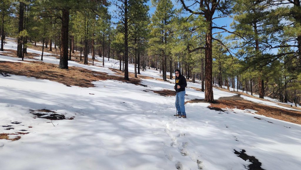
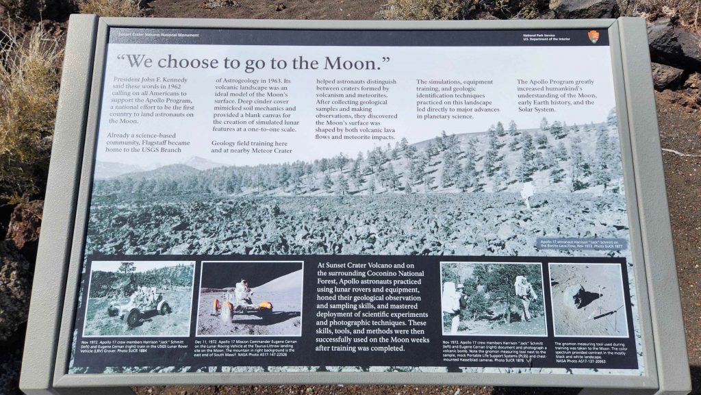
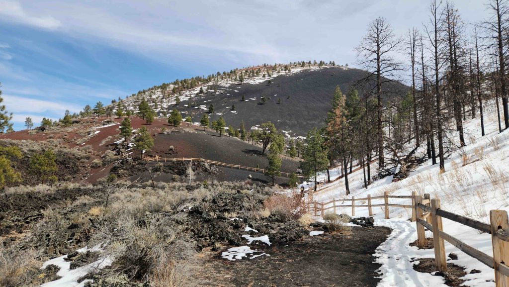
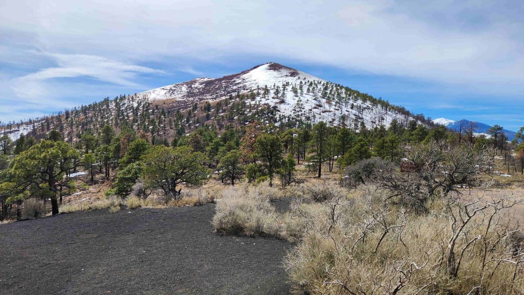
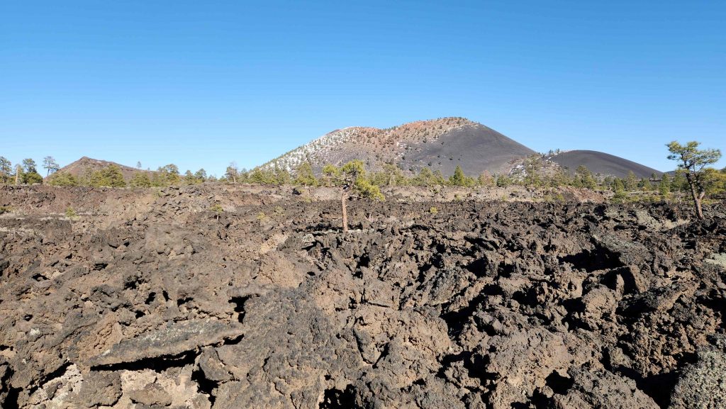
- Sunset Crater Volcano National Monument (#286), which tells the story of The Destruction and Rebirth of a Landscape. The lava flow lies on the land like a dream, a wonderland of rock. Sunset Crater Volcano is the youngest of the 600 volcanic features in the San Francisco Volcanic Field. The eruption that formed Sunset Crater occurred about 1000 years ago, forever changing the landscape and the lives of the people who lived here (relates to Wupatki). It produced two lava flows. We walked the trails along the edge of/around in the Bonito Lava Flow, consisting almost entirely of a’a lava. Every astronaut who walked on the moon trained here. We also hiked up the Lenox Crater, which gave us a good view of Sunset Crater Volcano, Humphreys Peak many other volcanos of the San Francisco Mountains. And we did some of that hiking, in the SNOW, first time since southeastern Arizona in February 2023.
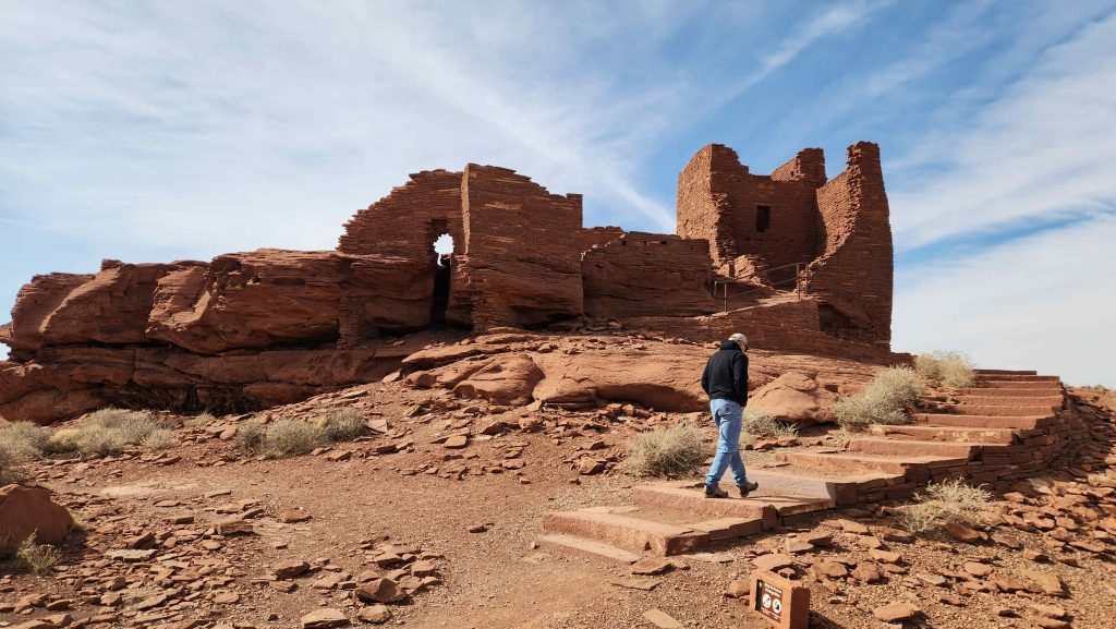
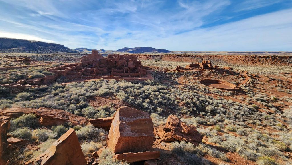
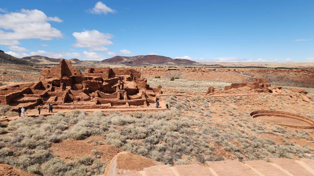
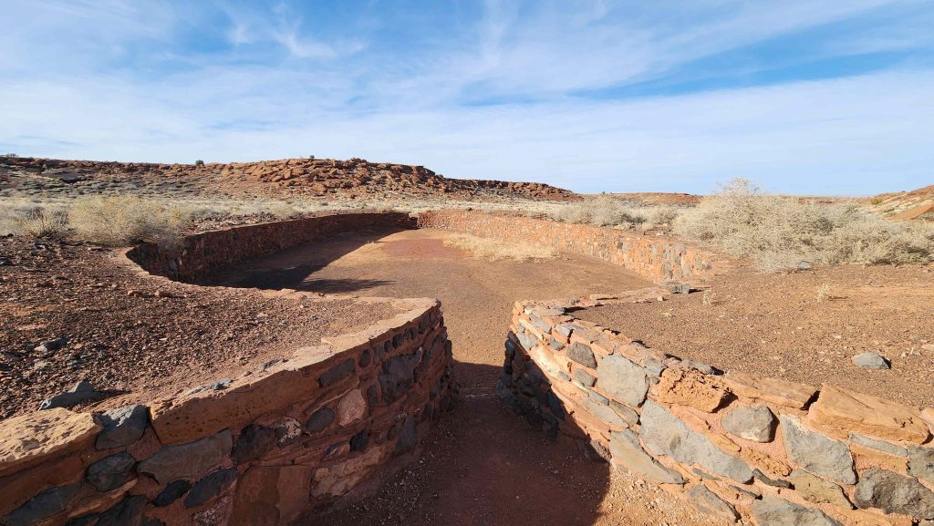
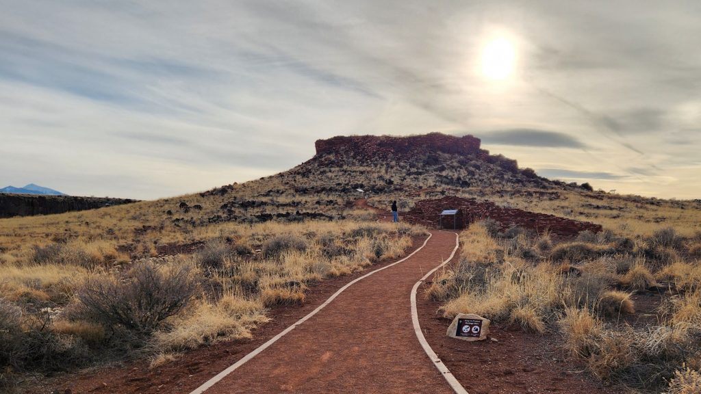
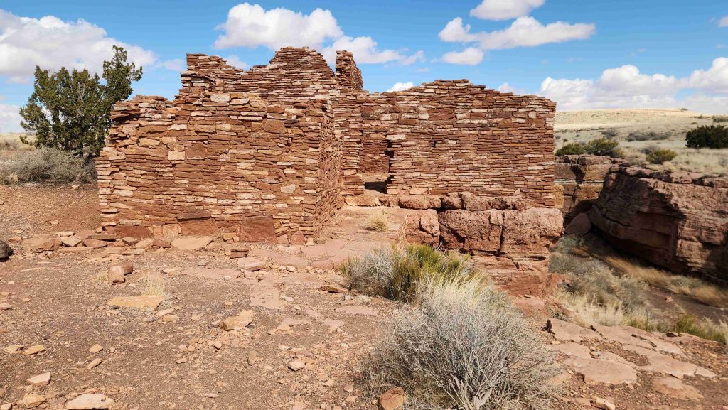
- Wupatki National Monument (#287), an unlikely landscape for a thriving community, nestled between the Painted Desert and ponderosa highlands of northern Arizona. The early 1100’s (soon after the Sunset Crater Volcano eruption) marked a time of cooler and wetter weather, when the ancestors of contemporary Pueblo communities created a bustling center of trade and culture. For indigenous peoples, these sites represent the footprints of their ancestors. We visited all the Pueblos in the monument, Wupatki, the largest, withe 100 rooms, twice to see it in different lights.
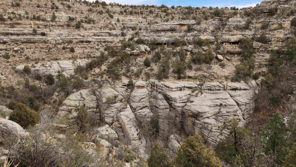
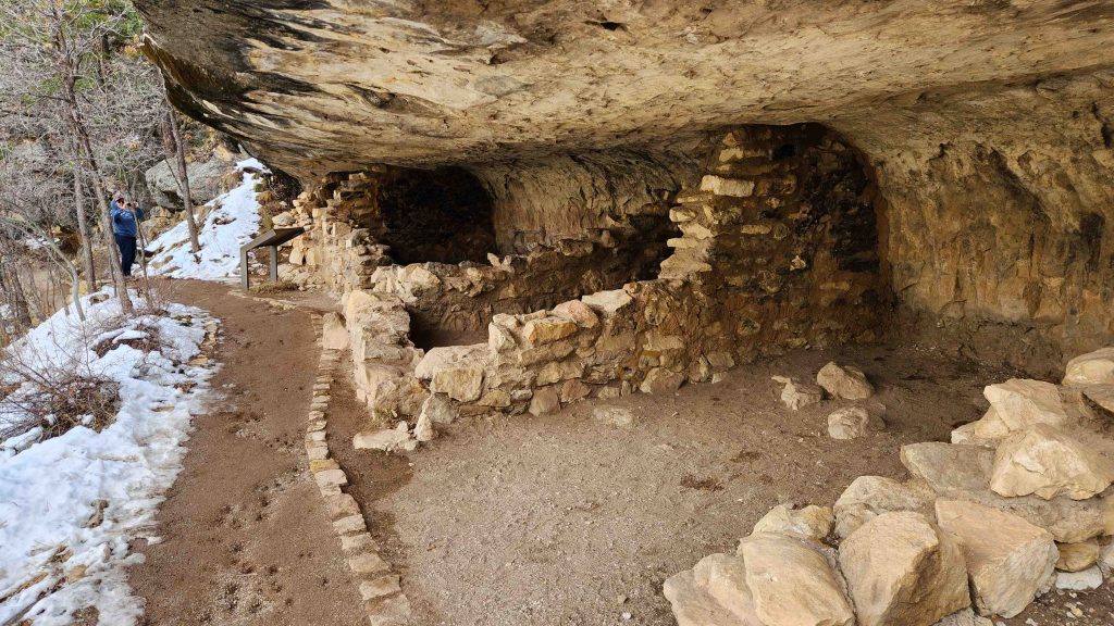
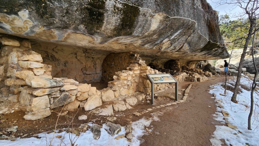
- Walnut Canyon National Monument (#288), where, since time immemorial, Indigenous Peoples have lived and traveled throughout the canyon’s dynamic landscape. Vibrant communities built their homes in the cliffs and farmed along the canyon’s rim. Today the park preserves this landscape, and the ancestral homes in and around the canyon. We hiked the Island and Rim Trails, to see what could be seen.
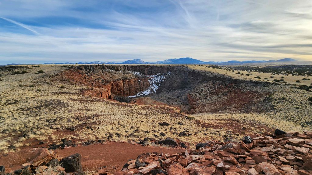
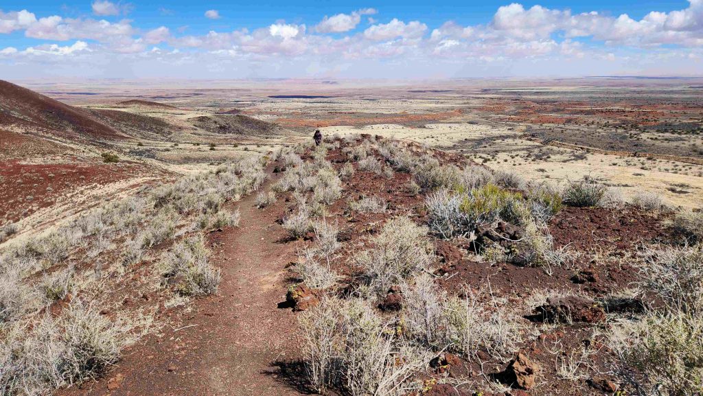
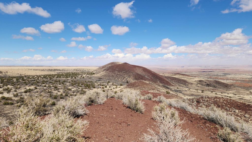
One day driving the Loop Road from Sunset Crater Valcano to the Wupatki Pueblos, we stopped to hike Doney Crater Trail in the Coconino National Forest, to the top of both Big Doney Crater and Little Doney Crater.
Made it ~60 miles South this afternoon, to Camp Verde, Arizona
With one last stop in Flagstaff, to visit the Museum of Northern Arizona, on our way out of town. The museum mostly highlights the history & art of the Indigenous Peoples of the Colorado Plateau. Really good Museum. It was cold with snow still on the ground. Then, driving the last 18 miles here, we dropped over 3,500′ in elevation, and the temperature rose from ~57o to ~75o.
For more pictures, see (in-work) Adventure Album: Thru Arizona
PREVIOUS Traveling Where Now? . . . . . NEXT Traveling Where Now?
Standing on the Corner…..In Between…..
2 Comments
GRetta · March 21, 2025 at 5:11 am
Well, I guess you didn’t miss out on seeing snow after all! The year we flew out there, my nephew lived in Phoenix, met Bills sister and husband and all of drove up to Grand Canyon, we stayed overnight in Flagstaff, checked out the area and on to Grand Canyon. Beautiful sights all around there.
Gail · March 23, 2025 at 7:51 am
VERY Beauriful, and GREAT Navajo Tacos!!!