Red Rock Gateway to Arches & Canyonlands National Parks
We stayed 5 nights, ~20 minutes from Arches, ~1 hour from Canyonlands-Island in the Sky, ~1.5 hours from Canyonlands-Needles. We used pretty much 4 full days for our…
Visits to these 2 new National Park Sites:
- Arches National Park (#371), a Red-Rock Wonderland, is a landscape of contrasting colors, land forms, and textures unlike any other. The park has over 2,000 natural stone arches, hundreds of soaring pinnacles, massive rock fins, and giant balanced rocks.
Day 1, we arrived before 7:30 and started driving to the end of the Scenic Road at Devils Garden, stopping at most overlooks and doing 3 hikes to see arches (2 over 3 miles). We ended the day driving out the spur road to the Delicate Arch Overlook and stopping at the Visitor Center, not leaving until 5:00. WOW! Really. WOW! It is amazing. There is a reason Arches is one of “The National Parks to visit” (even if you have to deal with crowds…not TOO bad).
Day 3, we went in after the morning rain, primarily to hike the Park Avenue Trail and to drive out the spur road to the Windows section and hike around the North and South Windows and out to the Double Arch.
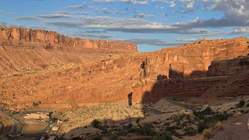
Arches NP-driving in, with the Visitor Center below and looking across at a “recent” fault line 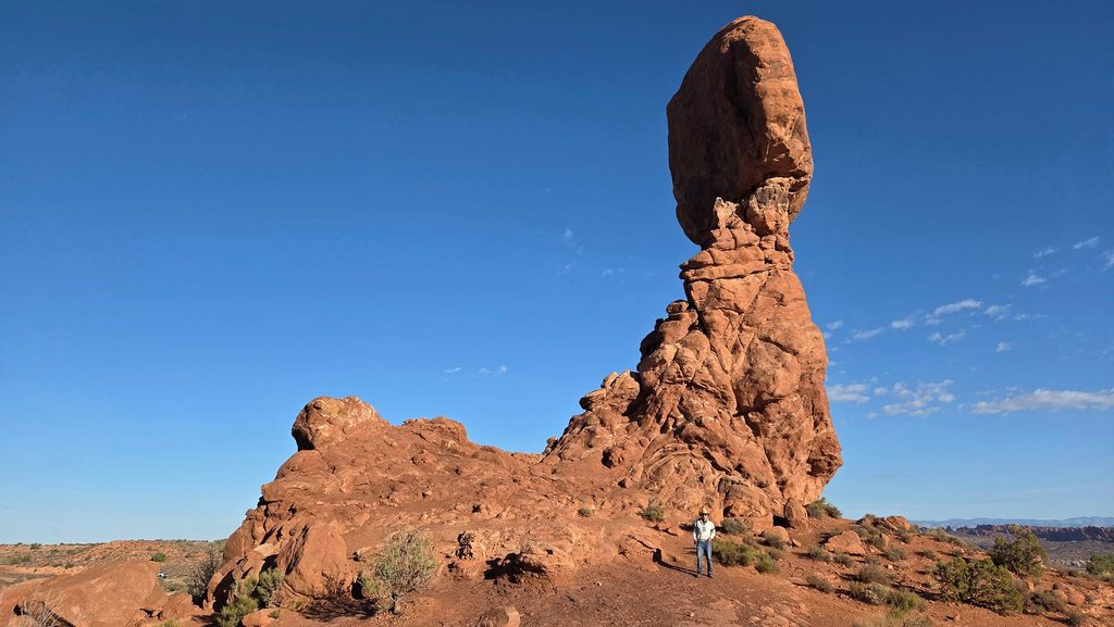
Arches NP-Balanced Rock 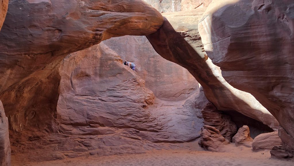
Arches NP-Sand Dune Arch 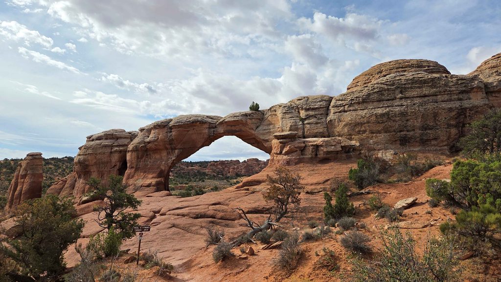
Arches NP-Broken Arch…nice hike to get here. This is from “back side” after we hiked under it. 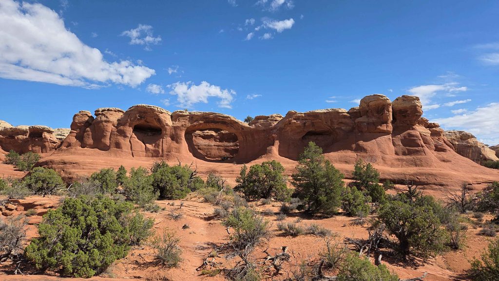
Arches NP-Tapastry Arch, on same hike as Broken Arch 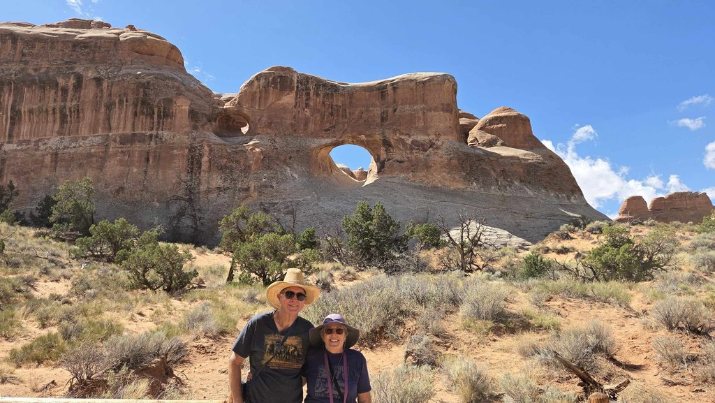
Arches NP-Tunnel Arch, at the end of the road, near Devils Garden 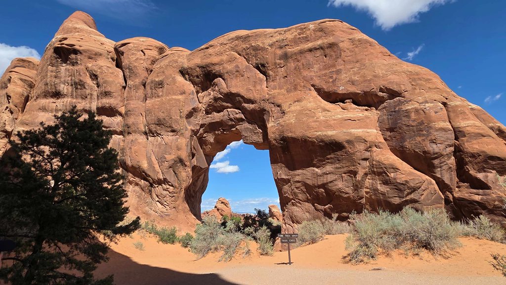
Arches NP-Pine Tree Arch, at the end of the road, near Devils Garden 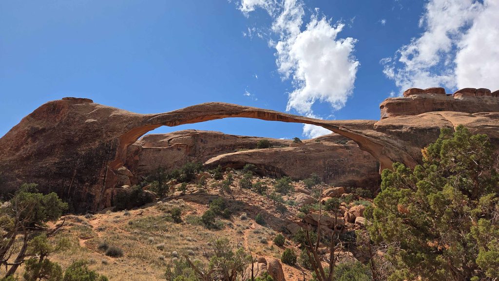
Arches NP-Landscape Arch, at the end of the road, on the easier start of the trail into Devils Garden. A big “hunk” fell out from under it in 1991. 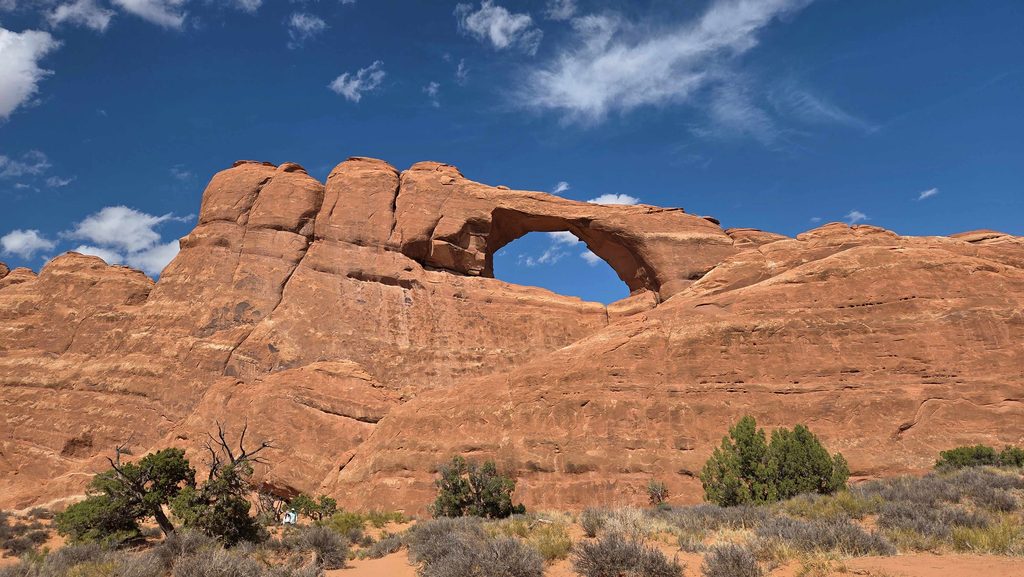
Arches NP-Skyline Arch,which double in size when a huge hunk fell out in 1941 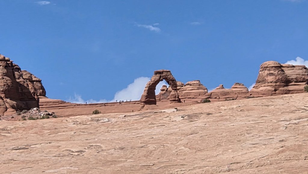
Arches NP-Delicate Arch from the lower viewpoint…the “famous” Arch 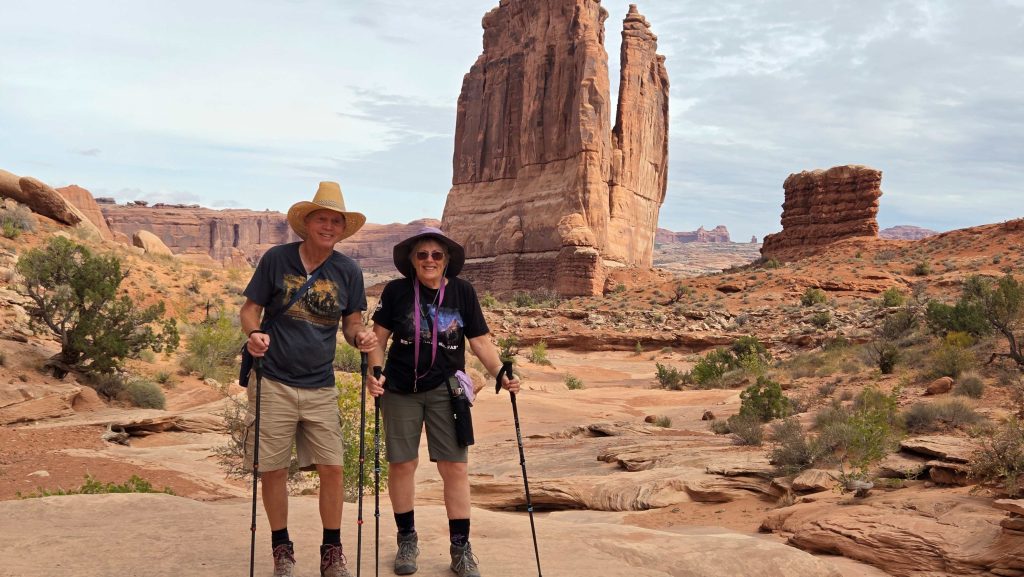
Arches NP-hiking Park Avenue 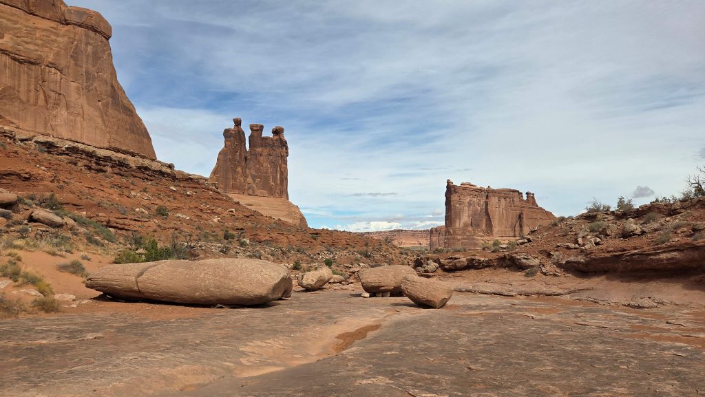
Arches NP-The Three Gossips and Courthouse Towers on Park Avenue hike 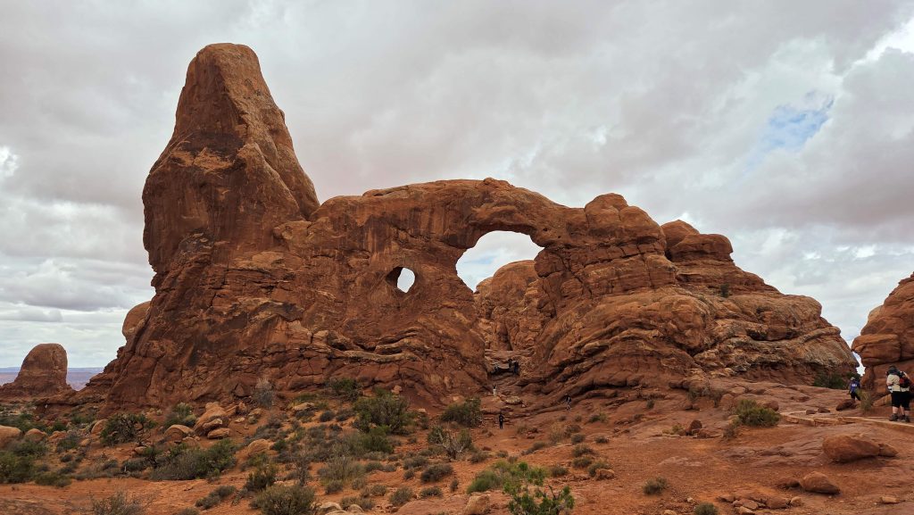
Arches NP-Turret Arch from the North Window 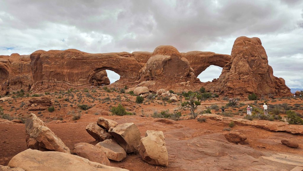
Arches NP-North and South Windows from the “front” 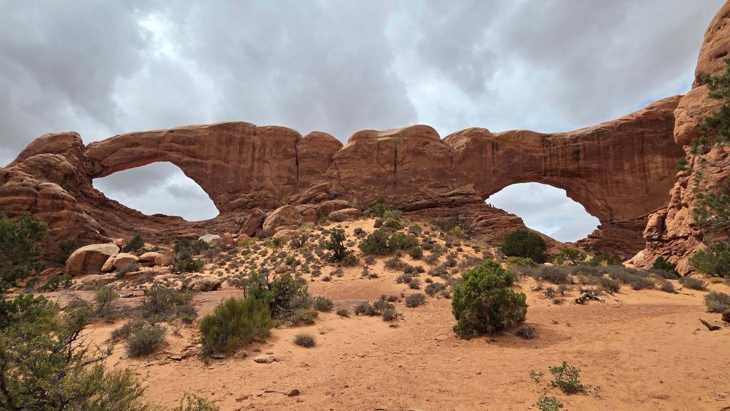
Arches NP-South and North Windows from our hike around the “back” 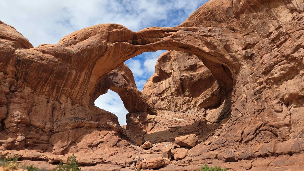
Arches NP-Double Arch (Gail’s favorite)
- Canyonlands National Park (#372), is a wilderness of canyons, buttes, and spires carved by the Colorado River and Green River. The park is divided into four distinct districts with similar desert ecosystems; no roads join them together. (We likely will never visit the Maze in the southwest, the least accessible district of Canyonlands, nor the Colorado and Green Rivers which wind through the heart of Canyonlands.)
Day 2, we visited the Island in the Sky mesa in the north, which rests on sheer sandstone cliffs over 1,000′ above the surrounding terrain and is the easiest area of Canyonlands to visit. We woke up very early to get into the park and hike (0.3 miles) to the Mesa Arch before sunrise, to catch the glow of sunrise on it’s underside. Then back to the Visitor Center for orientation and spent the day driving the Scenic Road to the south and north, stopping at all overlooks and taking 4 hikes, ~5.5 miles (to Mesa Arch twice). We spent 6:30 am to 5:4 5 pm in the park. Its own kind of WOW!
Day 4, we visited the Needles, which form the southeast corner of Canyonlands and was named for the colorful spires of Cedar Mesa Sandstone that dominate the area. Again, we drove all the scenic road, stopping at all overlooks, and taking 4 hikes to see the sites. Less time needed in this section of the park. Good, since it was ~3 hours RT to get there…though gorgeous scenery, with a stop at Newspaper Rock!
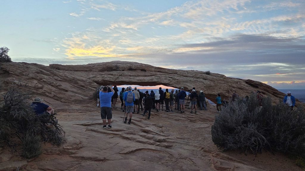
Canyonlands NP-Island in the Sky-Mesa Arch at Sunrise with a few of our closest friends 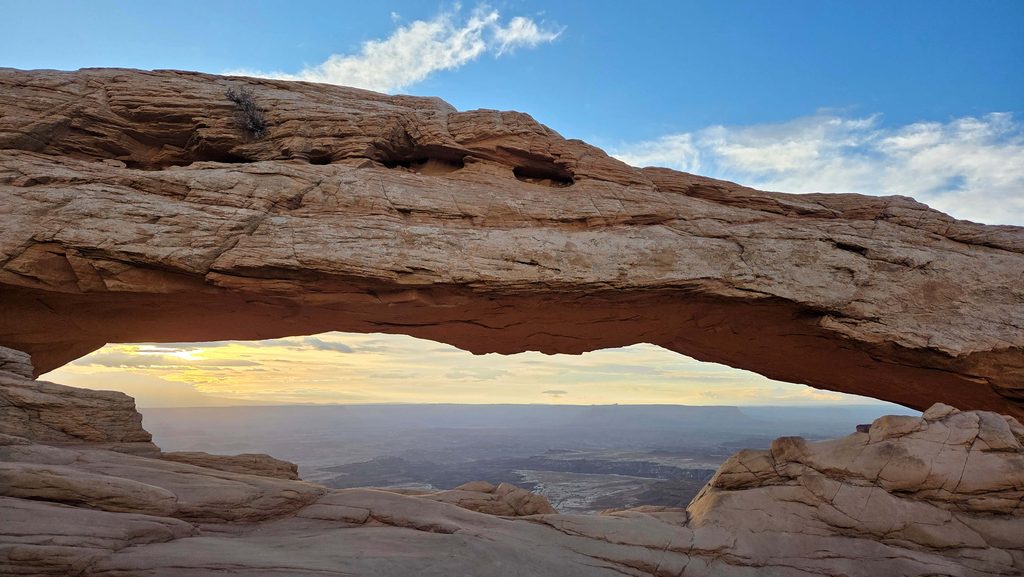
Canyonlands NP-Island in the Sky-Sunrise through Mesa Arch 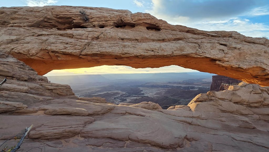
Canyonlands NP-Island in the Sky-Sunrise glow on Mesa Arch 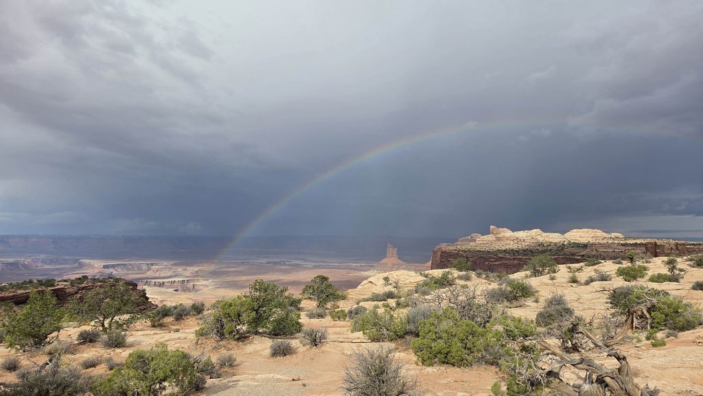
Canyonlands NP-Island in the Sky-Rainbow at Candlestick Tower Overlook 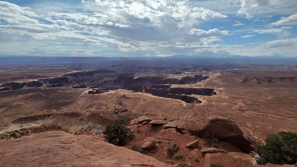
Canyonlands NP-Island in the Sky-White Rim at Grand View Overlook 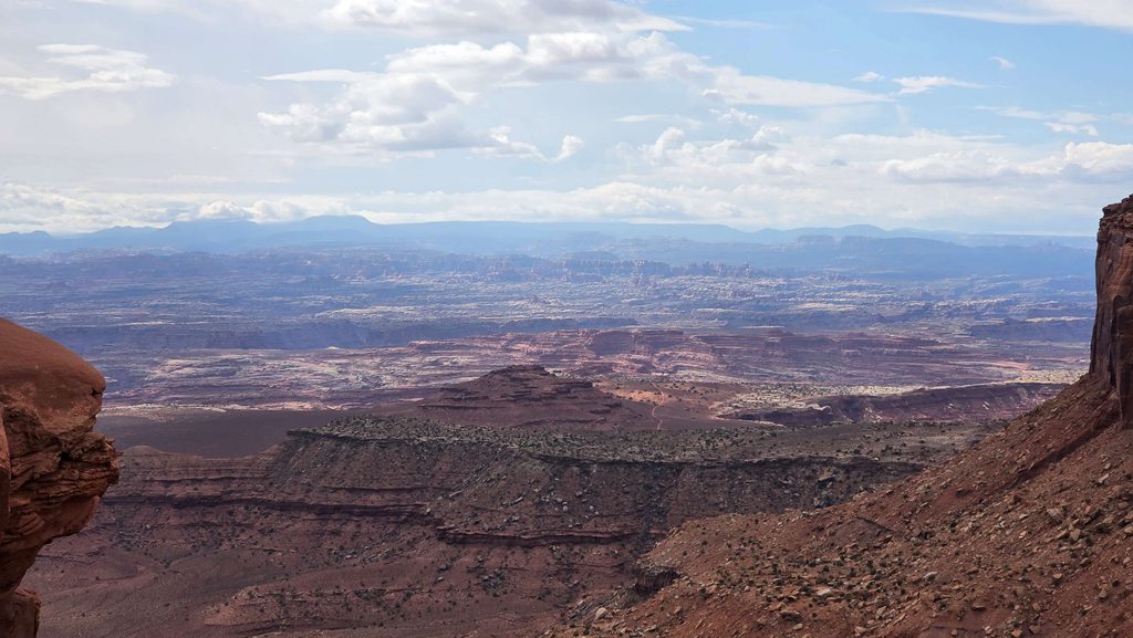
Canyonlands NP-Island in the Sky-View into the Needles from the end of Grand View Trail 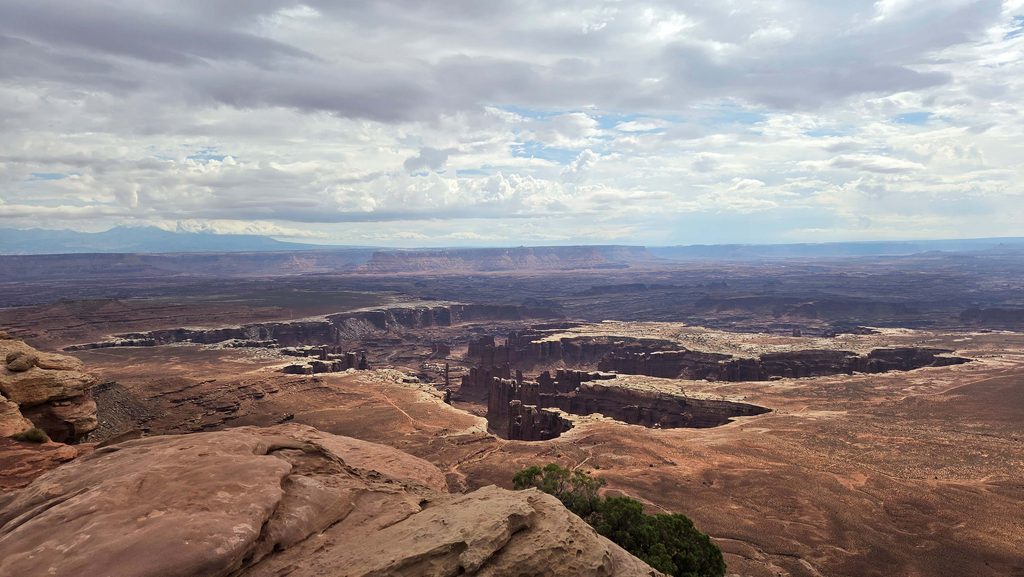
Canyonlands NP-Island in the Sky-White Rim from Grand View Trail 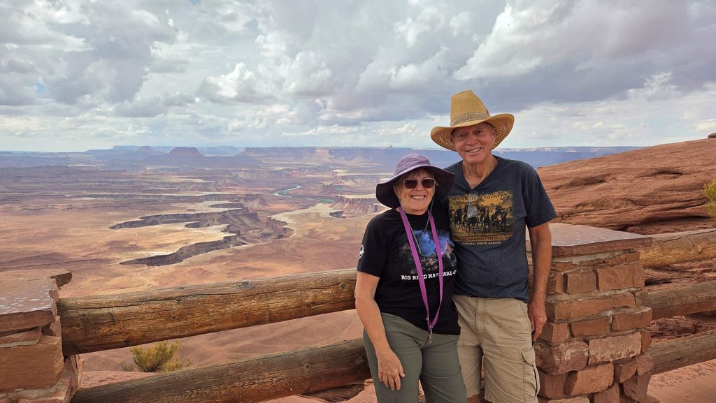
Canyonlands NP-Island in the Sky-at Green River Overlook 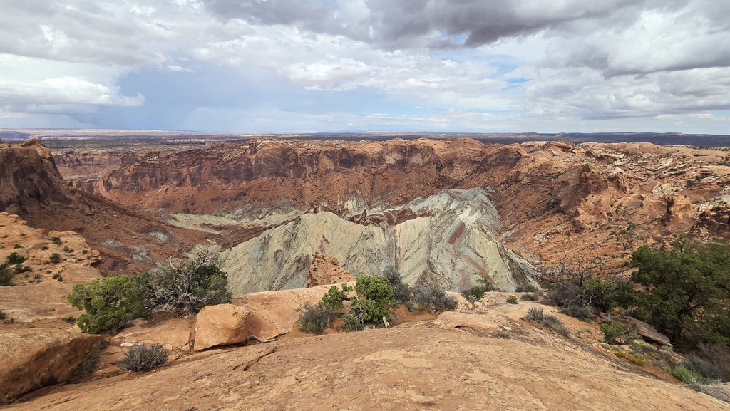
Canyonlands NP-Island in the Sky-View of the crater at First Upheaval Dome Overlook 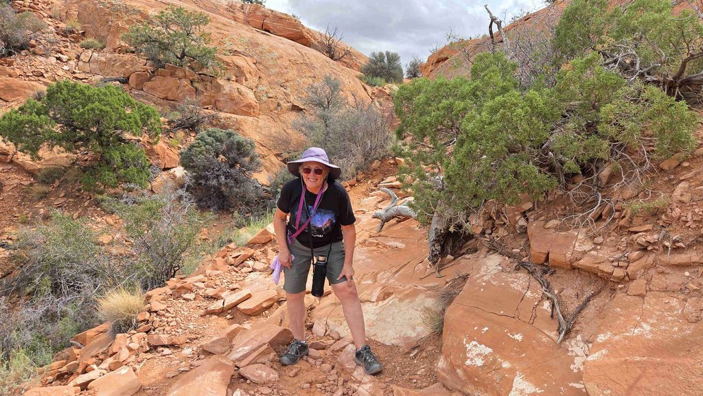
Canyonlands NP-Island in the Sky-on the return trip from Upheaval Dome Overlook, documenting the site where Gail fell on the hike in…pointing to one of her Boo Boos. 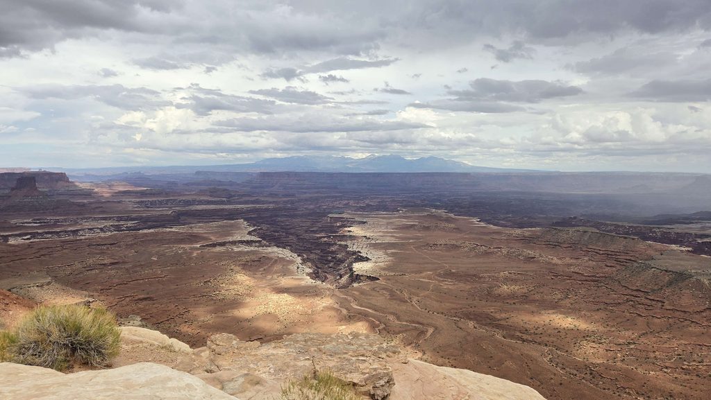
Canyonlands NP-Island in the Sky-watching a distant storm at Buck Canyon Overlook. Saw lightning. Failed to capture it. 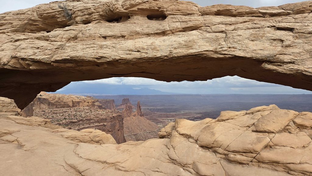
Canyonlands NP-Island in the Sky-View through Mesa Arch in later afternoon 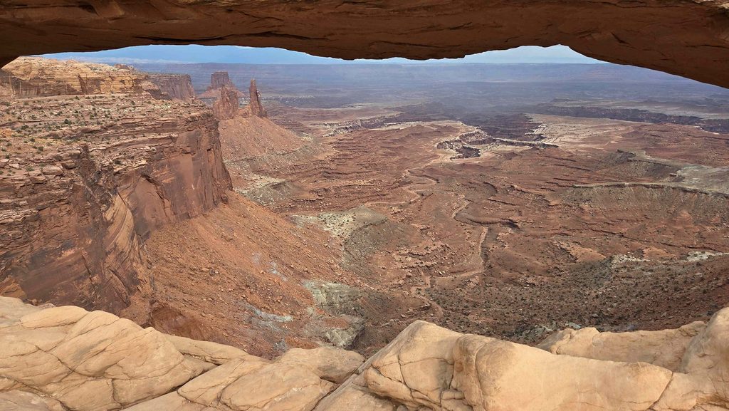
Canyonlands NP-Island in the Sky-View of canyon through Mesa Arch in later afternoon 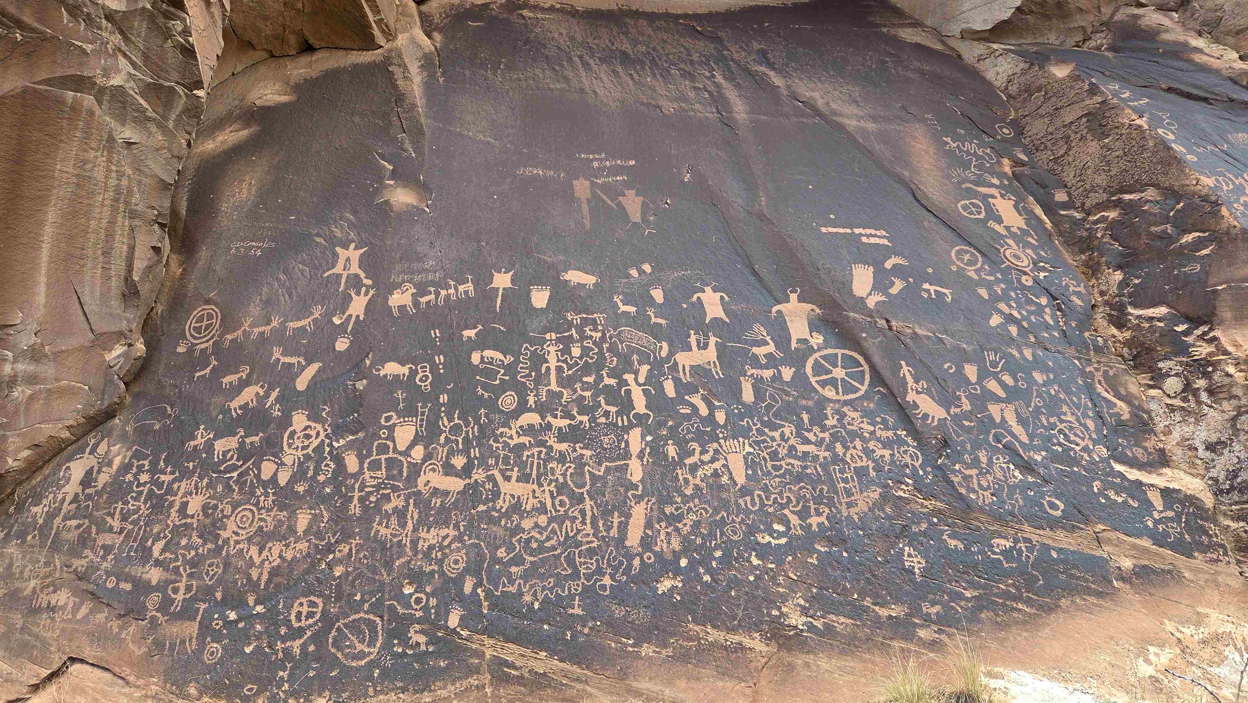
Newspaper Rock on the way to Needles district of Canyonlands 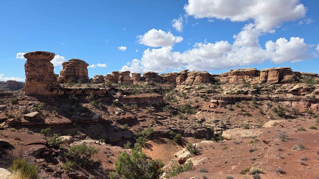
Canyonlands NP-Needles-Big Spring Canyon Overlook 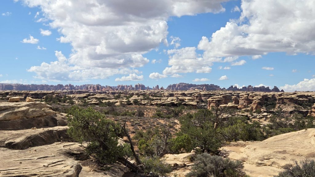
Canyonlands NP-Needles-View of the needles formations on Sliprock Trail 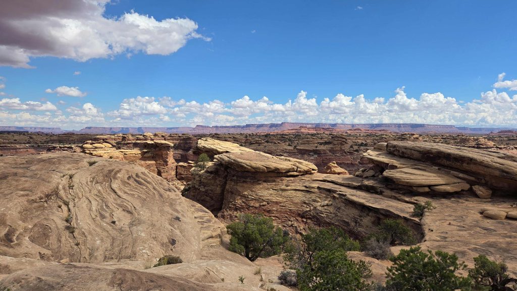
Canyonlands NP-Needles-View 2 on Sliprock Trail 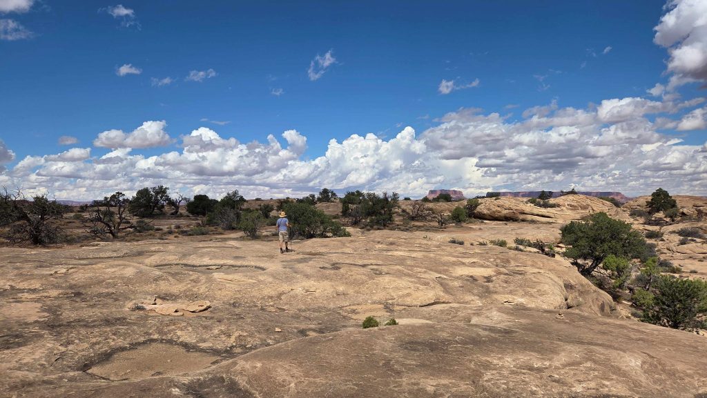
Canyonlands NP-Needles-Reonoitering on Sliprock Trail 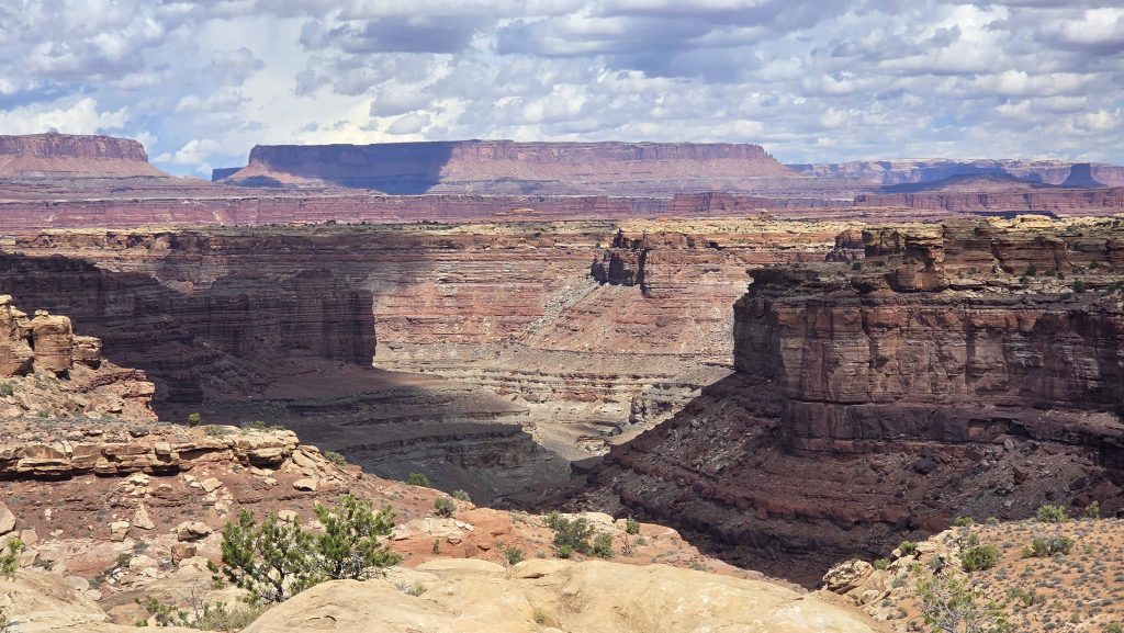
Canyonlands NP-Needles-View 3 on Sliprock Trail 
Canyonlands NP-Needles-View of the needles formations on Sliprock Trail 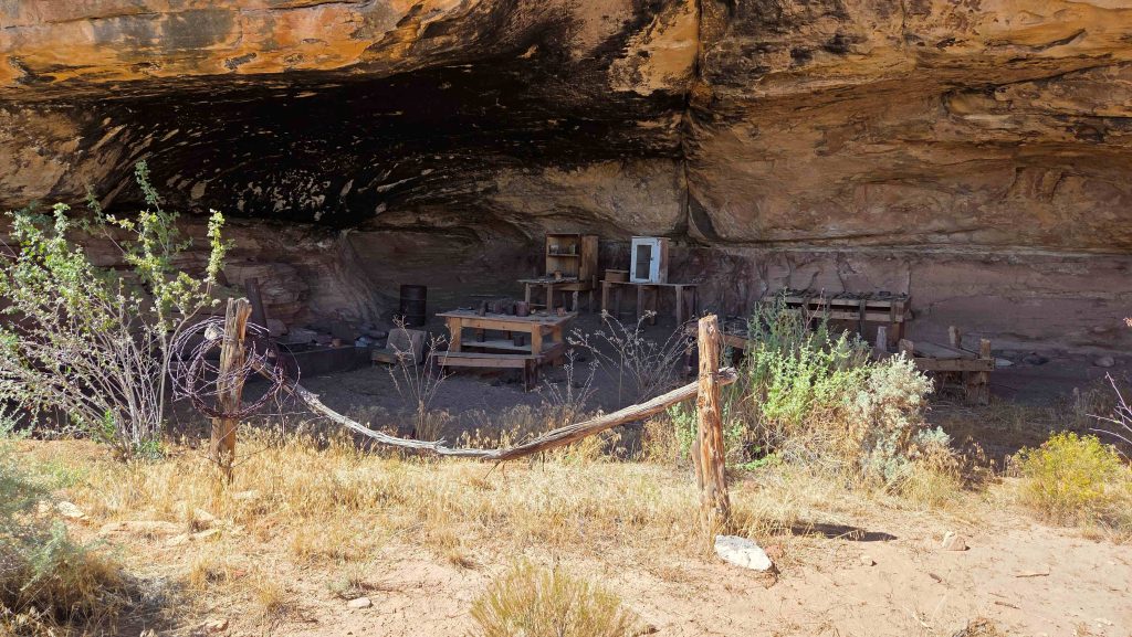
Canyonlands NP-Needles-Remains of Cowboy Camp on Cave Spring Trail

0 Comments