Where the Gunnison enters the Colorado River
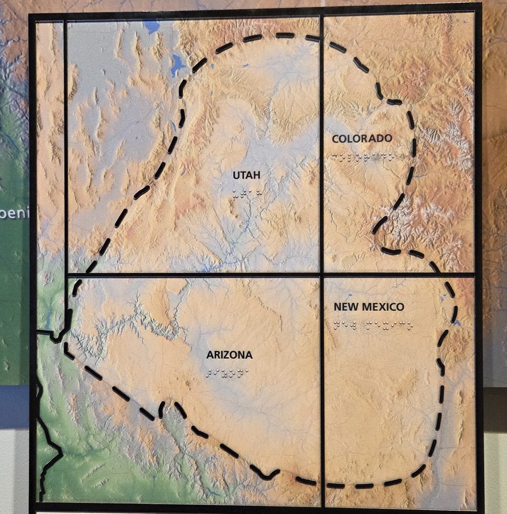
And on the Colorado Plateau. The Colorado Plateau is roughly centered on the Four Corners region of the Southwest, covering an area of 130K square miles. It is largely made up of high desert, with scattered areas of forests. In the south-west corner of the Colorado Plateau, nicknamed High Country, lies the Grand Canyon, and much of the Plateau’s landscape is related in both appearance and geologic history. The nickname “Red Rock Country” suggests the brightly colored rock left bare to the view by dryness and erosion. Domes, hoodoos, fins, reefs, river narrows, natural bridges, and slot canyons are only some of the additional features typical of the Plateau.
The Colorado Plateau has the greatest concentration of National Park Service (NPS) units in the country, outside the Washington, DC metropolitan area. This includes 9 designated National Park. We’ve visited 3, including our last visit, the Black Canyon of the Gunnison NP. It actually sits right on the eastern edge of the Colorado Plateau, acting as a meeting point between the Colorado Plateau on the west and the Southern Rocky Mountains on the east. There are also 18+ other designated NPS units, of which we’ve visited 7, including here in Grand Junction, where we…
Visited 1 new National Park Site:
- Colorado National Monument (#370), which preserves one of the grand landscapes of the American West. Towering monoliths exist within a vast plateau and canyon panorama. Most of the Colorado National Monument rises more than 2,000 feet above the Grand Valley of the Colorado River. Situated at the edge of the Uncompahgre Uplift, part of the greater Colorado Plateau. It is a semi-desert land of pinyon pines and junipers, ravens and jays, desert bighorns and coyotes. The magnificent views from Rim Rock Drive stretch from the colorful geology of sheer-walled, red rock canyons and fascinating rock sculptures to the distant Colorado River valley, the purple-gray Book Cliffs, and the huge flat-topped mountain called Grand Mesa.
On our first day, we drove the twists and turns of 23-mile Rim Rock Drive, west to east, stopping at every overlook and hiking to all overlooks except the Coke Ovens. We also hiked a few miles of highland trails around Saddlehorn Visitor Center. Yesterday we drove to the east entrance to hike a couple of lower trails, up to Devils Kitchen and a couple of miles into No Thoroughfare Canyon.
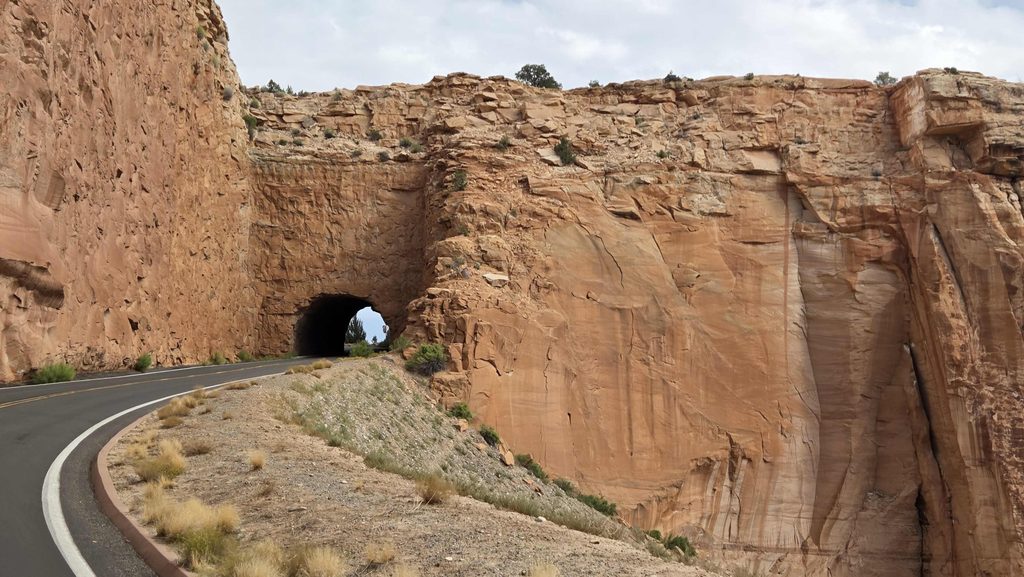
Colorado NM-entering one of the 3 tunnels on Rim Rock Drive 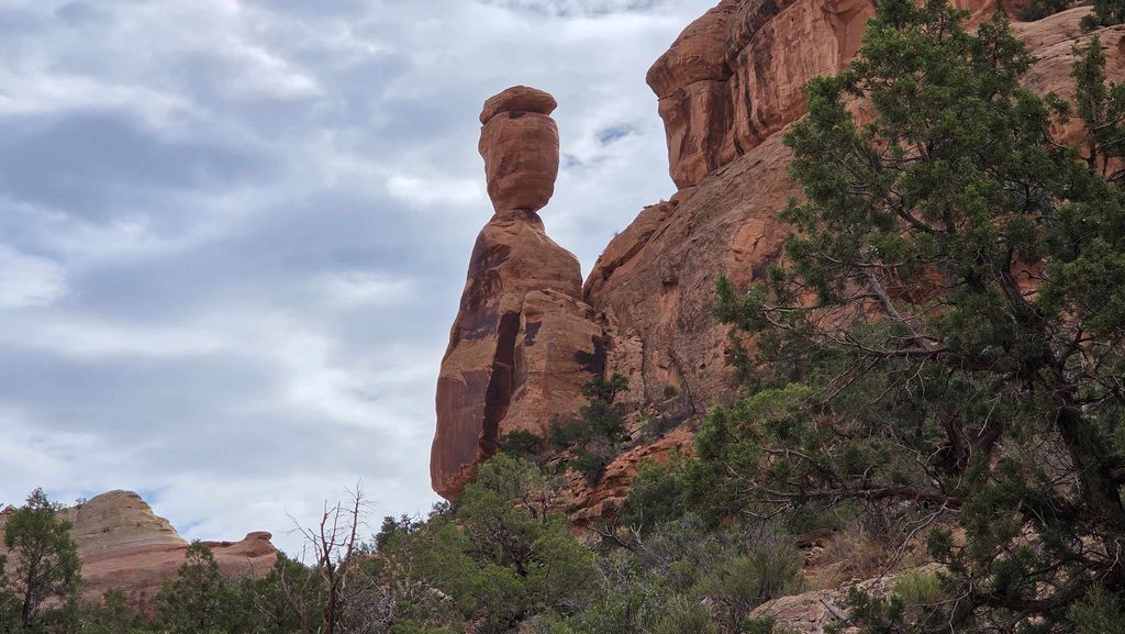
Colorado NM-Balanced Rock 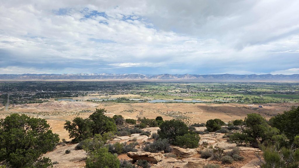
Colorado NM-View out over the Colorado River and Grand Valley to the Book Cliffs (left) and Grand Mesa (right) 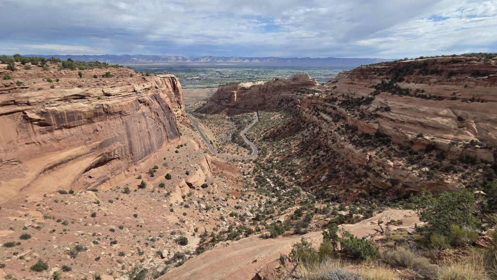
Colorado NM-View of Fruita Canyon (and Rim Rock Drive) 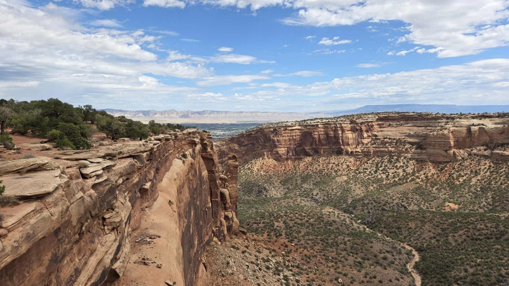
Colorado NM-Rim Rock Trail 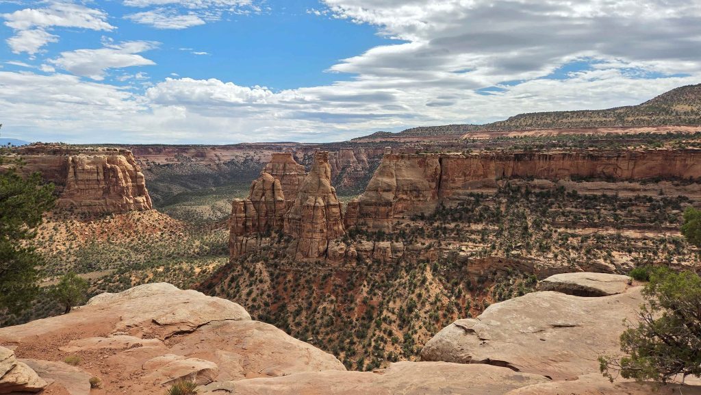
Colorado NM-View of Independence Monument from Rim Rock Trail 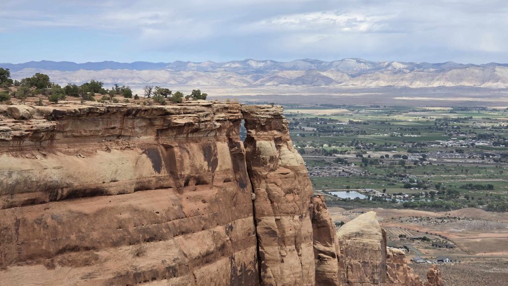
Colorado NM-View of Window Rock 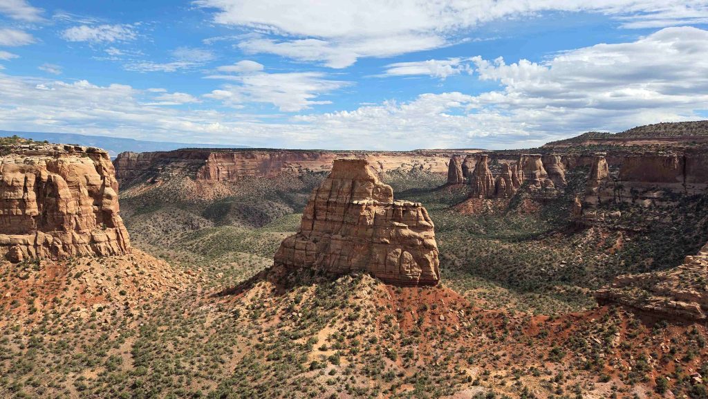
Colorado NM-View of Independence Monument from Otto’s Trail. Otto was the first to scale it, and the greatest proponent for saving the area as a National Monument 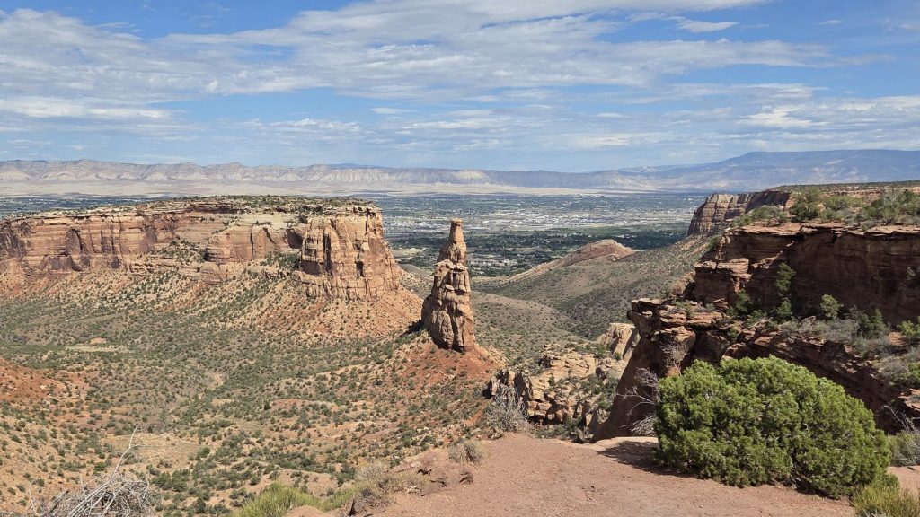
Colorado NM-View of Independence Monument from the “official” Independence Monument Overlook 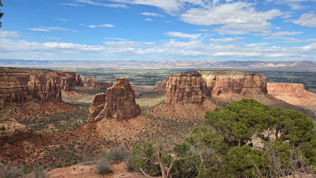
Colorado NM-The Grand View 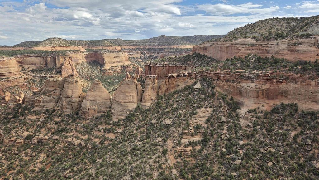
Colorado NM-the Coke Ovens from the overlook (skipped the hike around to JUST overlooking the rightmost one) 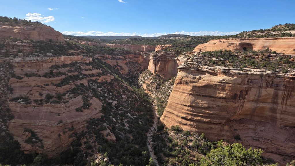
Colorado NM-Upper Ute Canyon from the overlook where we got to Whoop and hear a great echo! 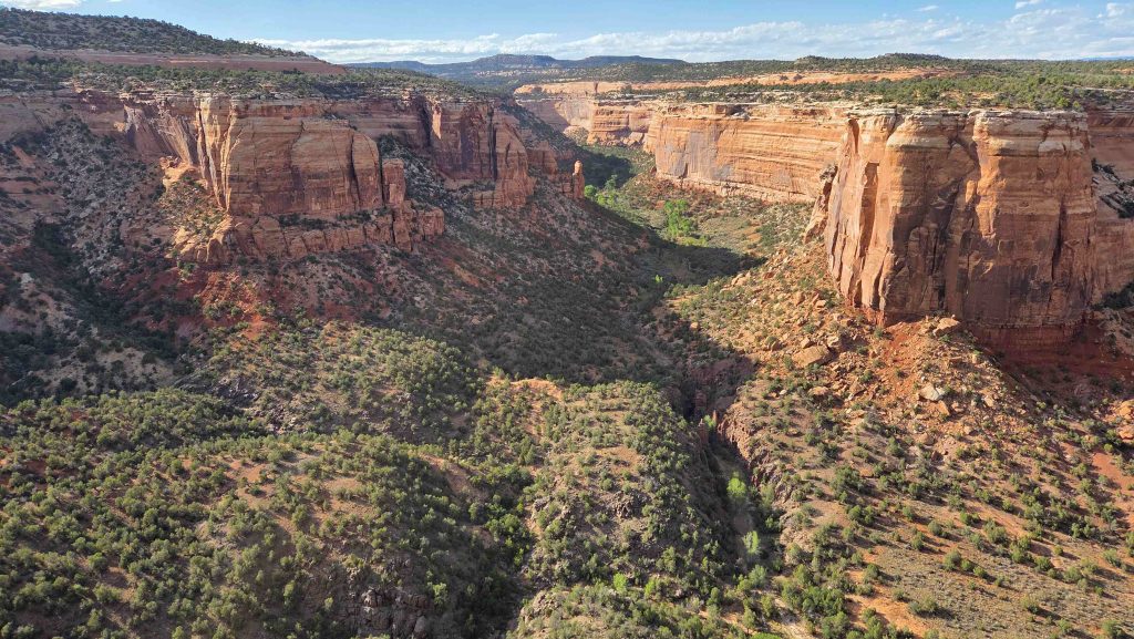
Colorado NM-Ute Canyon from the lower overlook 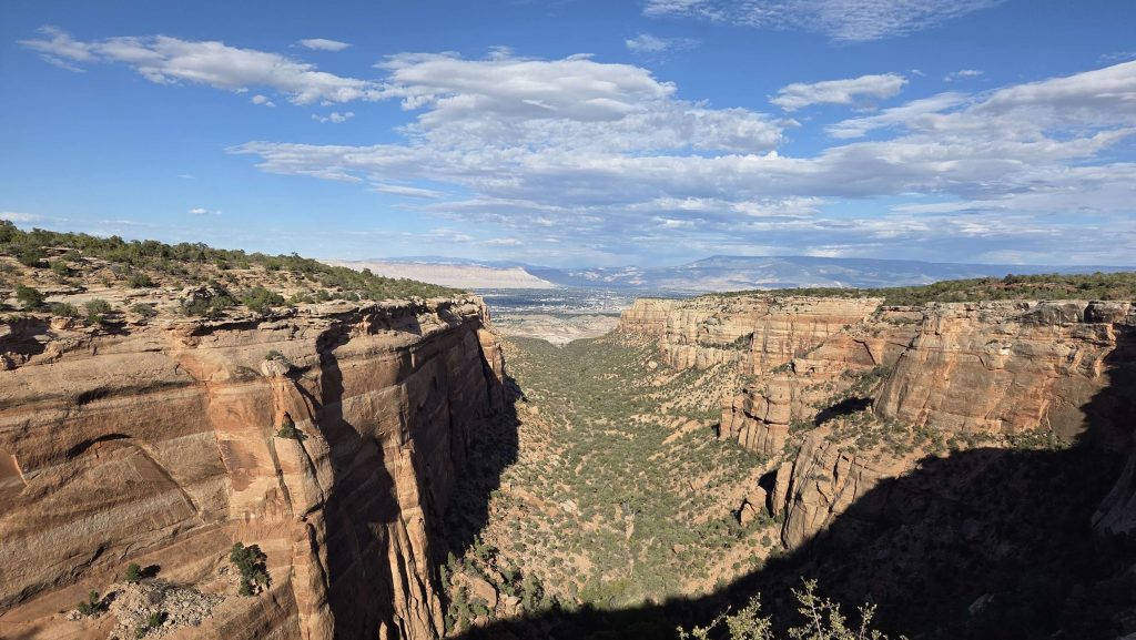
Colorado NM-Red Canyon Overlook to Grand Junction. Red Canyon is a Hanging Canyon (like most of Colorado NM…see next slide) 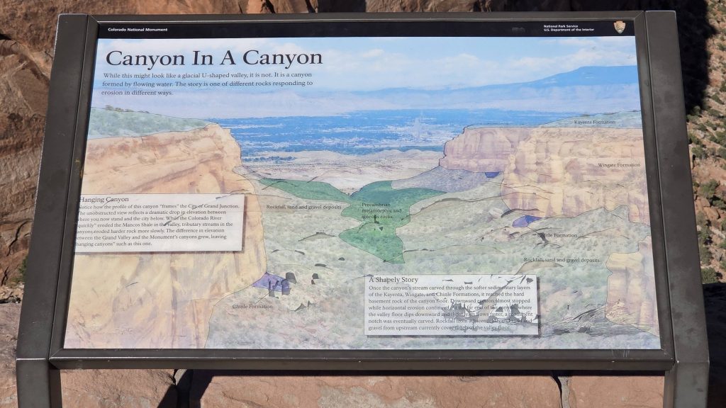
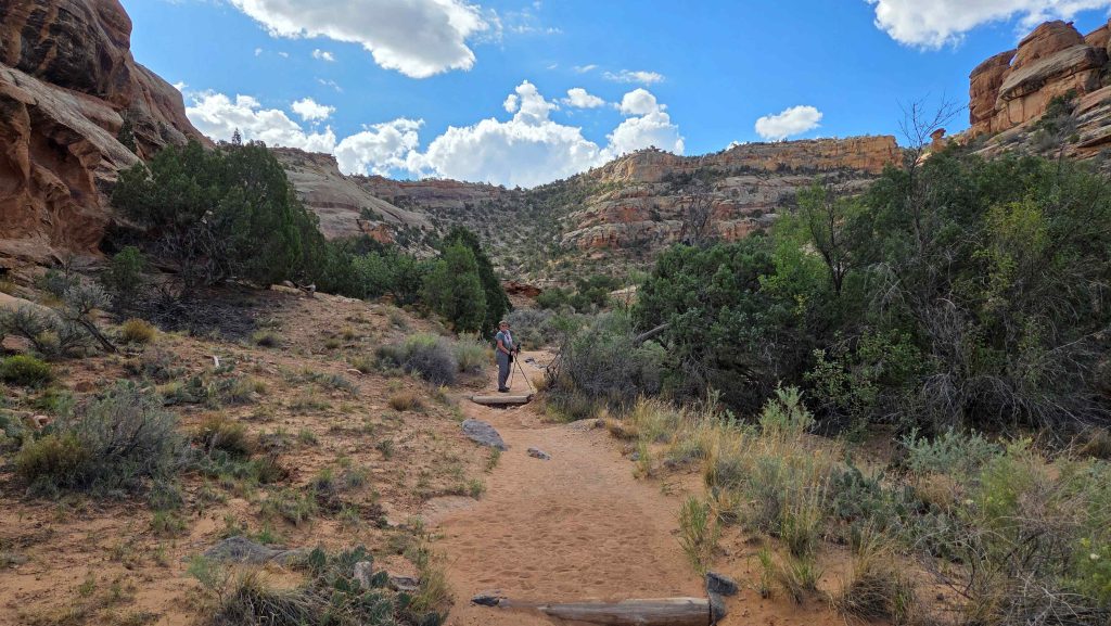
Colorado NM-Hiking in to Devils Kitchen 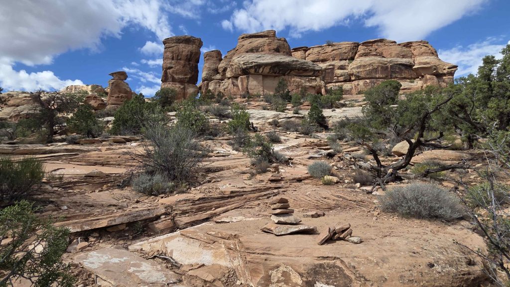
Colorado NM-Hiking up to Devils Kitchen 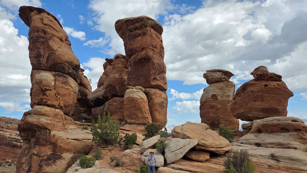
Colorado NM-Devils Kitchen 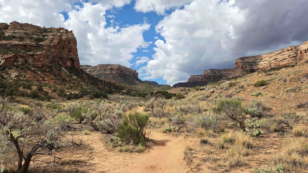
Colorado NM-Hiking up No Thoroughfare Canyon 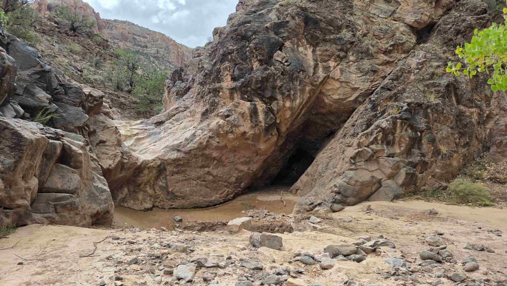
Colorado NM-Hiking up No Thoroughfare Canyon-1st Pool 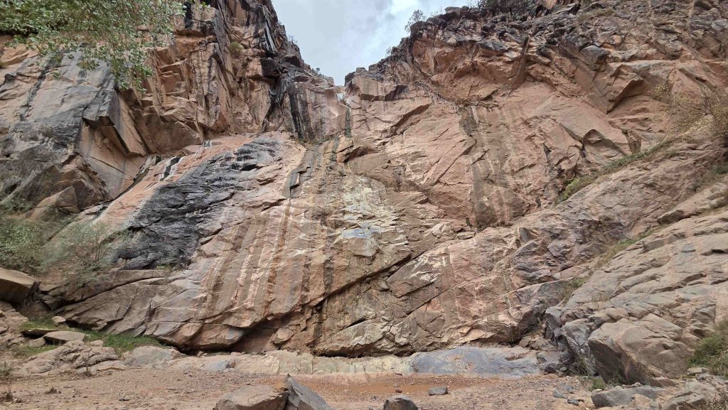
Colorado NM-Hiking up No Thoroughfare Canyon-1st (now dry) waterfall and our turn-around spot
Middle hanging in Grand Junction
We visited the Cross Orchards Historic Site, a preserved piece of the Grand Valley’s agricultural and railroad heritage. Once part of a 243-acre apple orchard, today the site features historic buildings, vintage equipment. We even arrived in time to do a little shopping at the weekly Farmers Market there, before visiting the site. On the way back to camp, we stopped to walk a bit on the Colorado Riverfront Trail, about where the Gunnison enters the Colorado. Only caught a glimpse of the convergence.
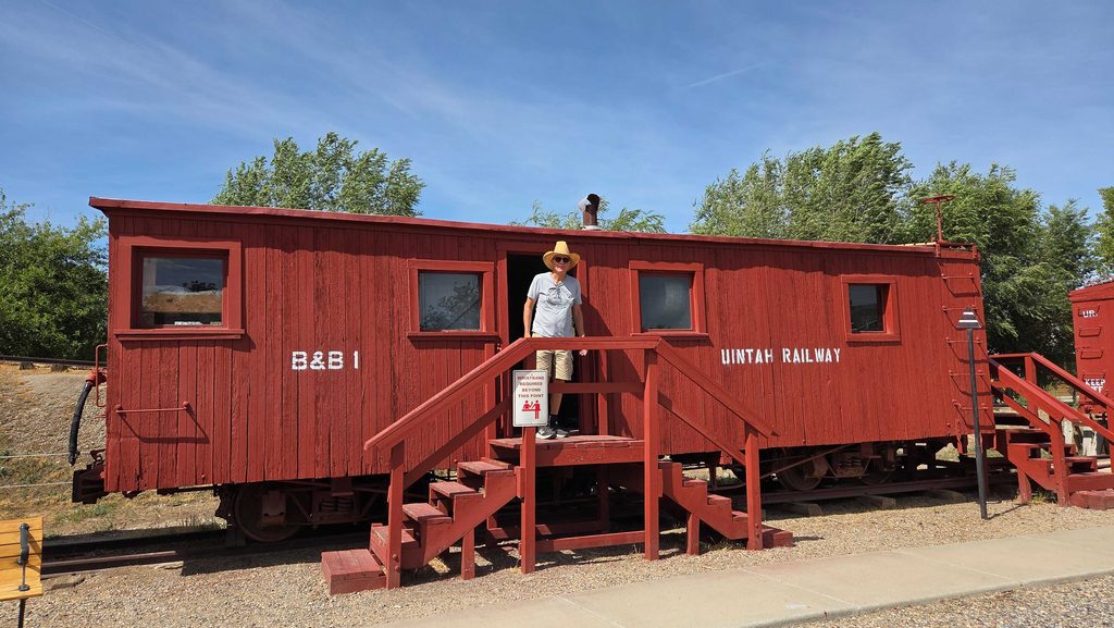
Cross Orchards Historic Site-Mark exploring one of the Uintah Railway cars 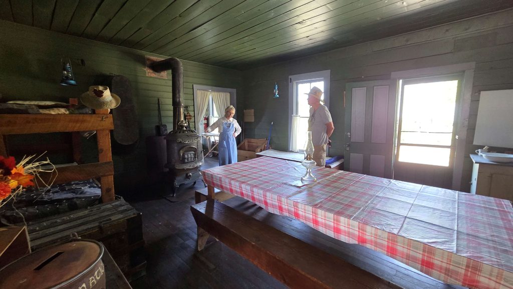
Cross Orchards Historic Site-Mark talking to the “Bunkhouse Cook” in the Bunkhouse 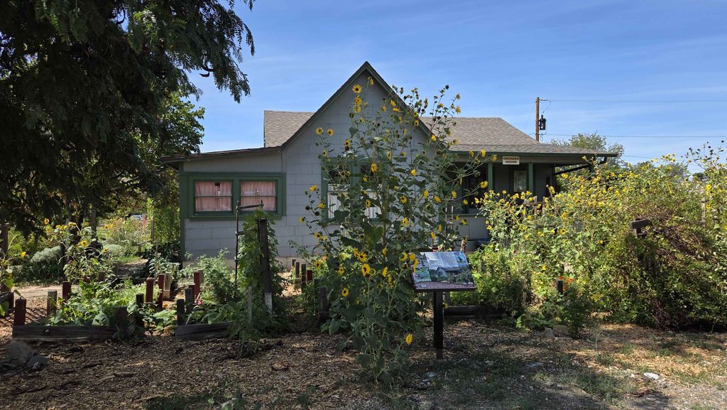
Cross Orchards Historic Site-Orchards House 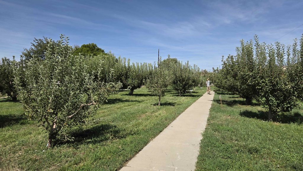
Cross Orchards Historic Site-Mark in the Orchard 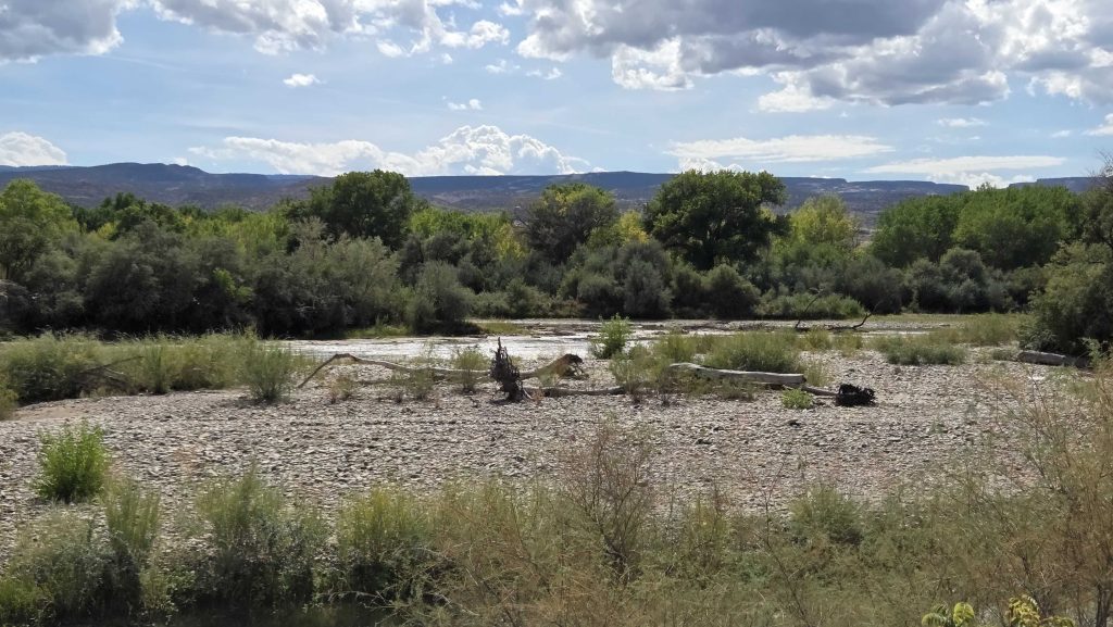
The “Grand Junction” of the Gunnison and Colorado Rivers
On our way to Moab, Utah!
Where we will visit 2 more National Parks of the Colorado Plateau.

0 Comments