A little hiking, a lotta driving (6,680′ <-> 9,820′ elevation)
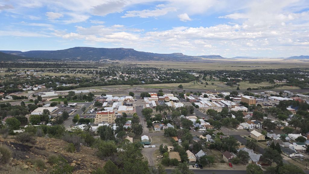
Staying in Raton, New Mexico, at 6,680′ elevation, just 8 miles south of Raton Pass, the highest point of the Historic Santa Fe Trail (and border with Colorado). Getting here we found ourselves driving on the actual historic route quite often. We came to visit Capulin Volcano, but found so much more! Fascinating geology…canyons, high mesas, volcanos. Fascinating history…cowboys, coal mining, gold mining, the Colfax County War, outlaws, big trainyards built & dismantled, the first proof that humans had been in North America longer than 3,000 years (Folsom Man), and the Boy Scouts!
Visit to 1 new National Park Site:
- Capulin Volcano National Monument (#364), part of the 8,000 square mile Raton-Clayton Volcanic Field, showcases the volcanic geology of northeastern New Mexico. The views are spectacular, day or night, although our chance for a sunset visit was canceled for weather (you do NOT want to be on an iron mountain with lightning threatening.) You can see 4 different states from the volcanic rim and it has one of the darkest night skies in the country. We arrived early on Friday, hoping to beat the heat and were partially successful. We drove the narrow, 2-mile road to the rim, where we walked into the crater and the 1-mile trail around the rim (high point 8,182′). Back down to the base, we hiked the 2-mile Boca Trail. Limited recent hiking, the heat, and the altitude really slowed Gail down, such that it took 2 hours and some recovery time. (Felt a bit like altitude sickness.) So, we didn’t hike the 1-mile Lava Flow Trail until we returned yesterday to finish up the last of the 5 miles of trails in the park.
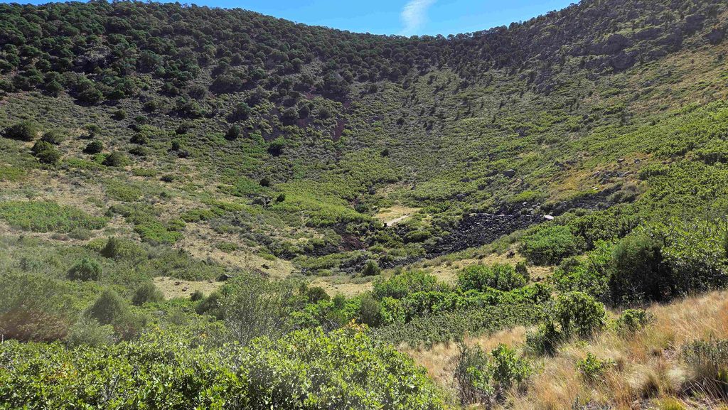
Capulin Volcano-Looking into the Crater from the Rim 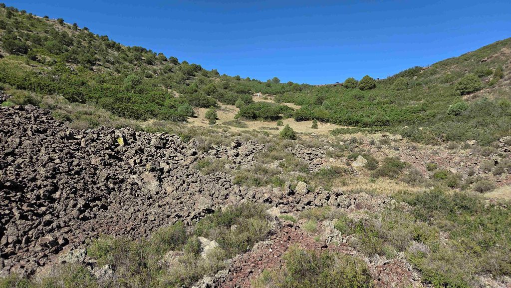
Capulin Volcano-Looking up from the Crater to the Rim 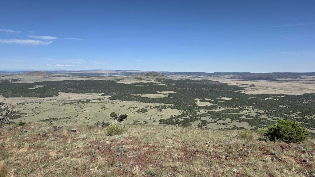
Capulin Volcano-View of Robinson Peak from Rim Trail 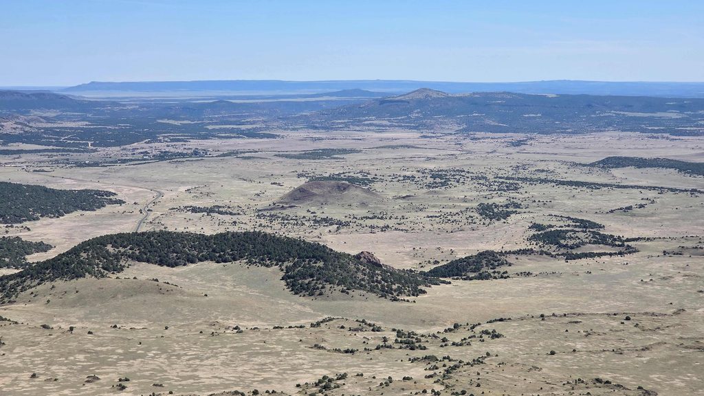
Capulin Volcano-View of Baby Capulin from Rim Trail 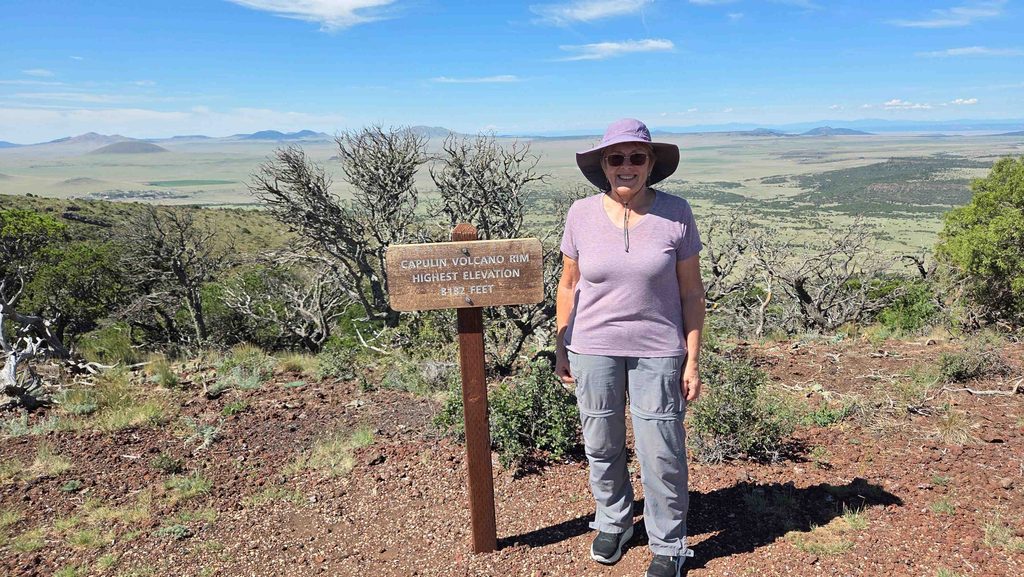
Capulin Volcano-Highest Point on Rim Trail 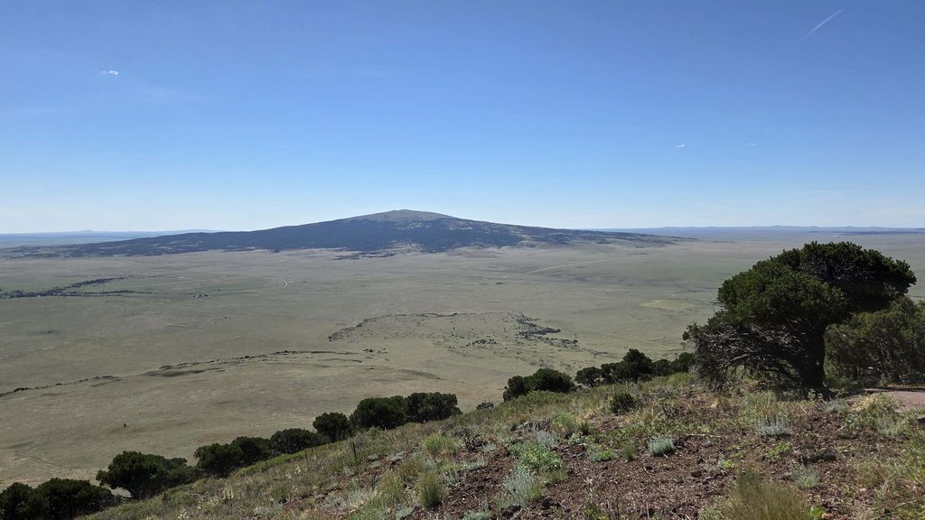
Capulin Volcano-View of Sierra Grande from Rim Trail 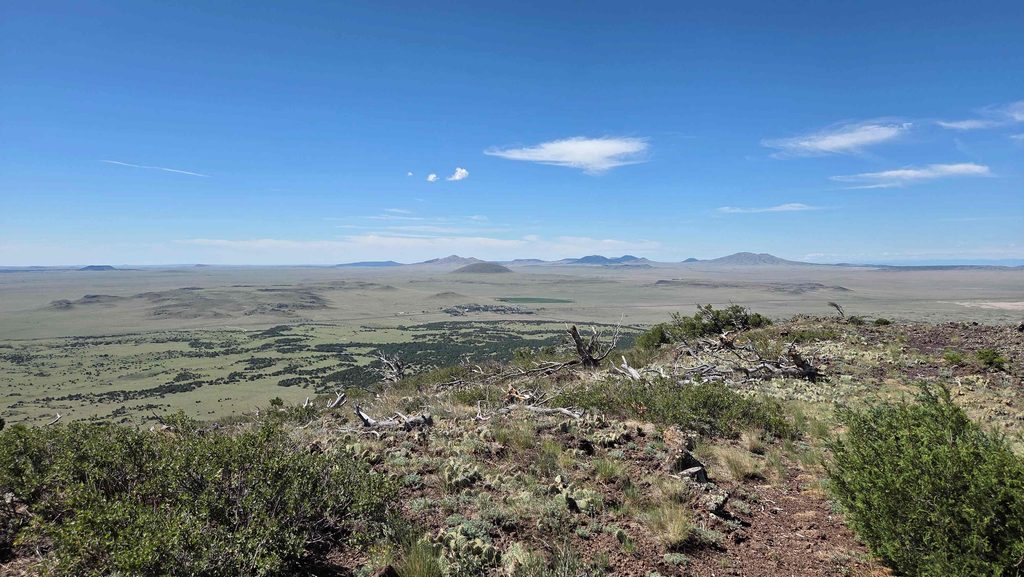
Capulin Volcano-One more view from Rim Trail 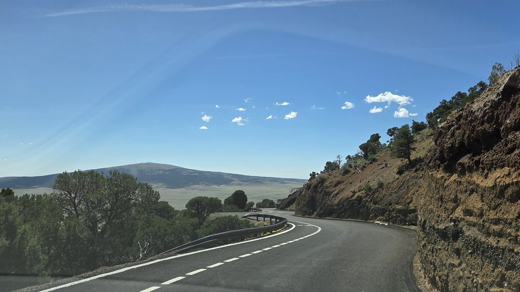
Capulin Volcano-driving down from Rim 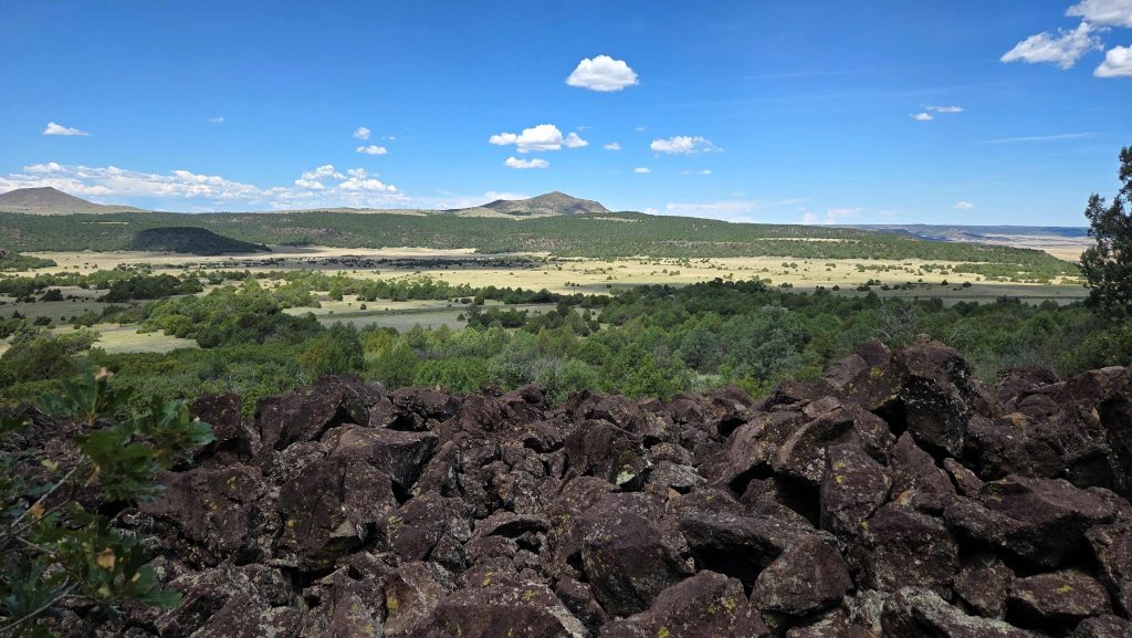
Capulin Volcano-View on Boca Trail Hike 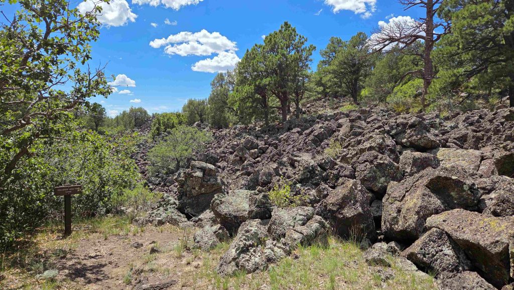
Capulin Volcano-Collapsed Lava Tube on Boca Trail Hike 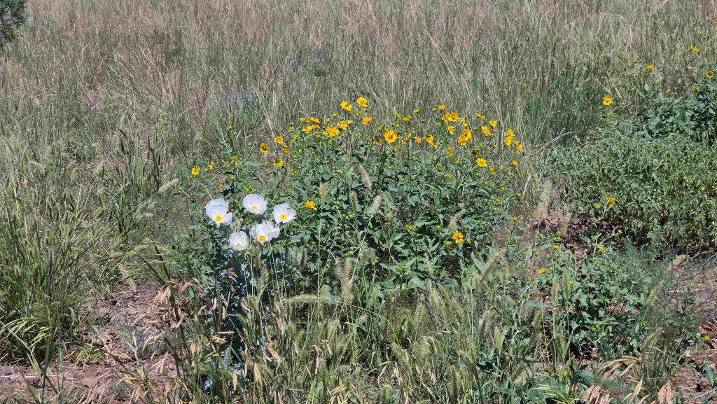
Capulin Volcano-Flowers on Lava Flow Trail
Sugarite Canyon State Park
Saturday we had a lovely day visiting nearby Sugarite Canyon State Park. The park is a stream valley flanked by basalt cliffs with Bartlett and Little Horse Mesas to the west and Horse Mesa to the east, and features historic coal camps, two scenic lakes, fishing, camping, and spectacular vistas. We started out by hiking 2+ miles to visit the remains of the old Sugarite Coal Mining Town. Then we drove to the north end and did a little hike along the shore of Lake Maloya. Last stop was a 2-mile drive up a dirt road to the Observation Point.
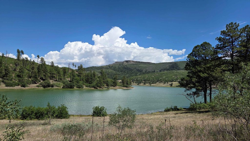
Surgarite Canyon SP, view of a bit of Lake Maloya from a shoreline trail 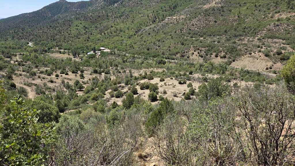
Surgarite Canyon SP, view of many building foundations from Coal Town Trail 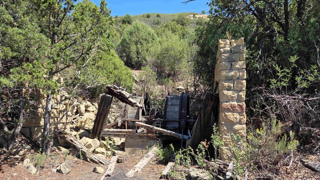
Surgarite Canyon SP, Tipple Remains of Coal Mine 2 on Coal Town Trail…used to drop 6 full coal cars down for transport, while bring 6 empty ones back up 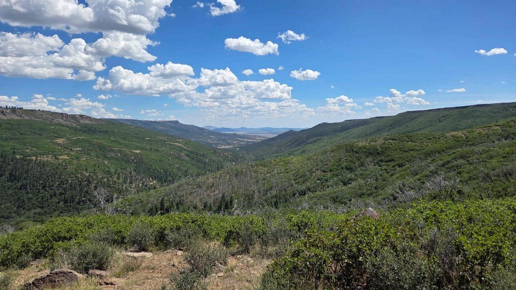
Surgarite Canyon SP, view from Observation Point
We did get back to town in time to visit the Raton Historic Museum, where we got another private tour. Fascinating artifacts and lots of local history. Our guide actually worked in one of the local coal mines for 15 years in his “youth”.
Cimarron & the Enchanted Circle Scenic Byway
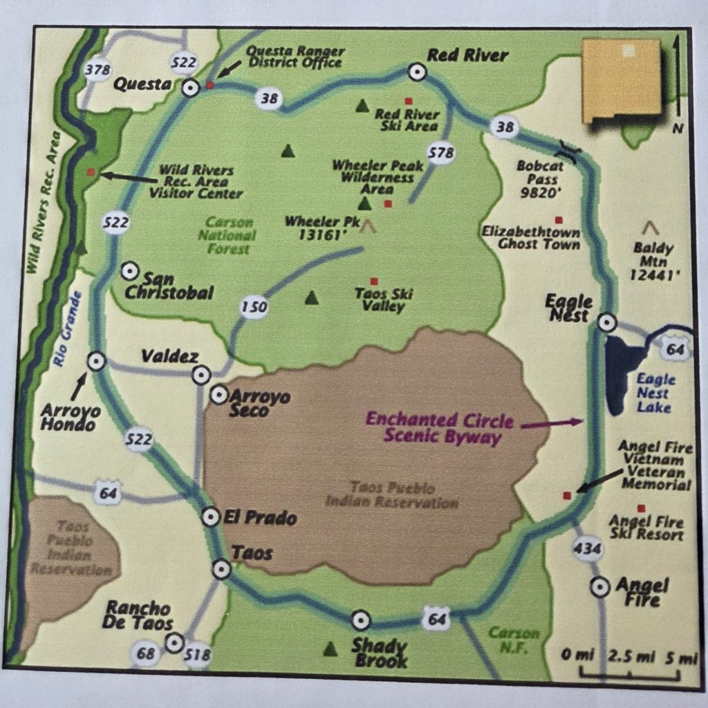
Sunday, after breakfast at Sage Coffee, we drove west to Cimarron (along the Santa Fe Trail), where we spent some time visiting the National Scouting Museum. Then we continued west through beautiful Cimarron Canyon State Park to Eagle Nest, where we visited their small history museum.
Eagle Nest is where we started driving the Enchanted Circle Scenic Byway, counter-clockwise. The scenic route circles Wheeler Peak, the highest natural geographic point in New Mexico at 13,161′.
After going over Bobcat Pass (elevation 9,820′), we stopped for lunch and a little walk in Red River (elevation 8,750′). It was “cool”, a balmy 72o. Next stop was Red River Trout Hatchery. By the time we got to Taos, it was getting on in the day, so we only stopped for ice cream for dinner. One more short stop on the Byway was at the Vietnam War Memorial near Angel Fire.
The drive back east through Cimarron Canyon State Park was just as beautiful as earlier in the day, slightly different due to direction and the recent thunderstorm that had come through.
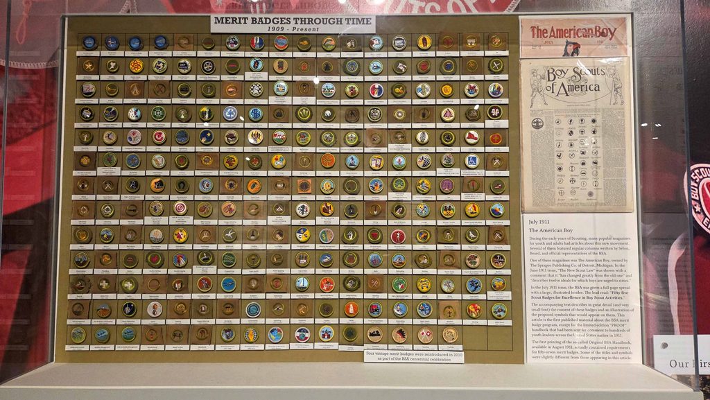
One of many exhibits at the National Scouting Museum. There was a whole section on local history, as well as scouting exhibits 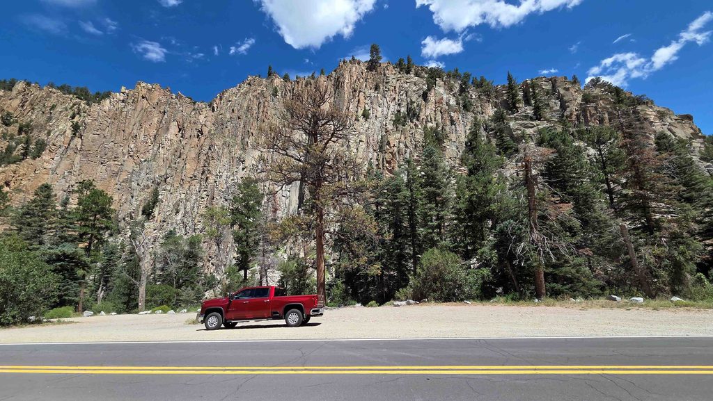
Stop in Cimarron Canyon State Park at the cliffs of the Palisades Sill 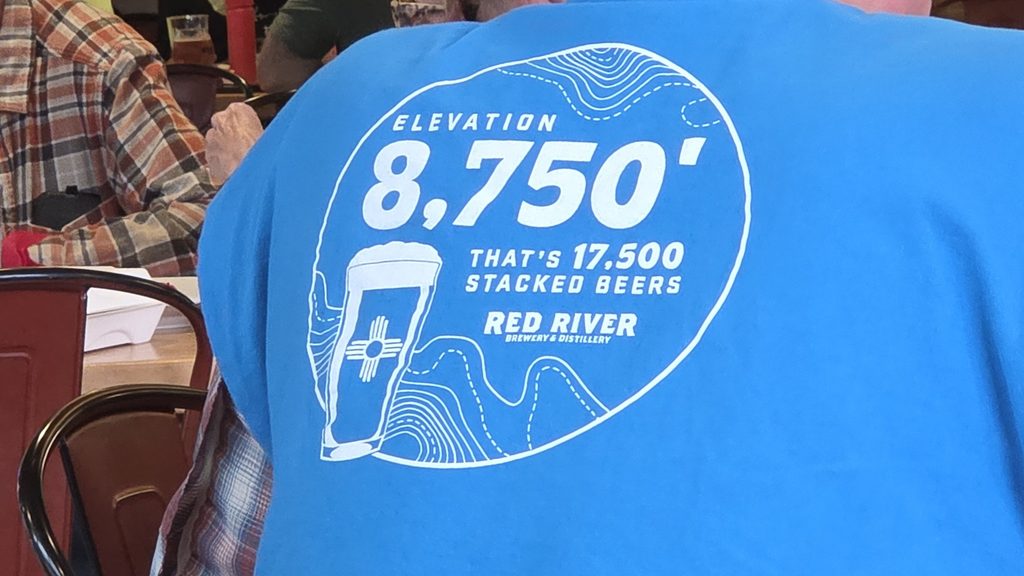
Seen at lunch in the Red River Brewery 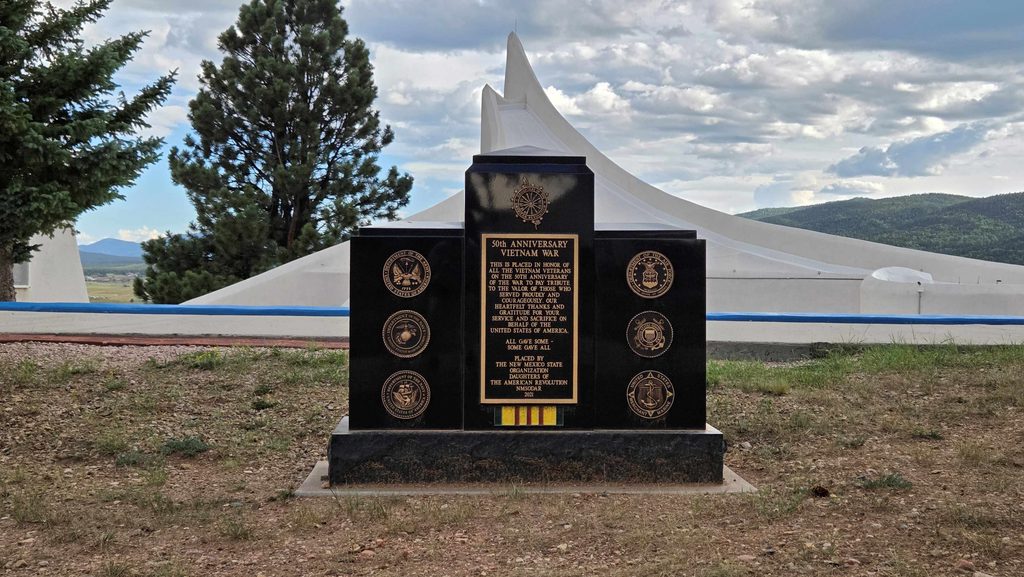
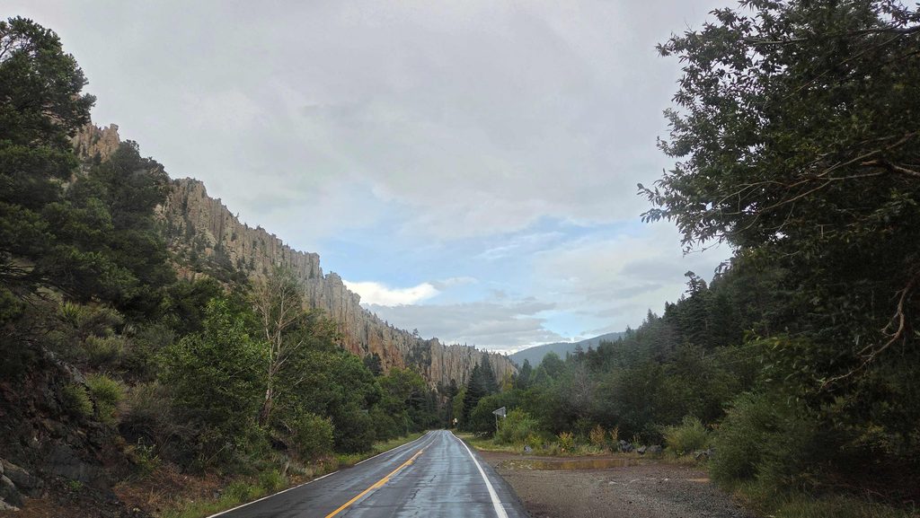
Driving back through Cimarron Canyon State Park by the cliffs of the Palisades Sill 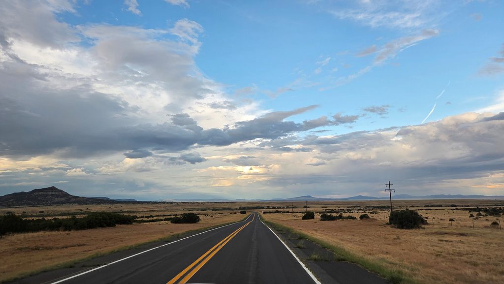
Beautiful sky, almost back to Raton after a great day
Wrapping things up on Monday
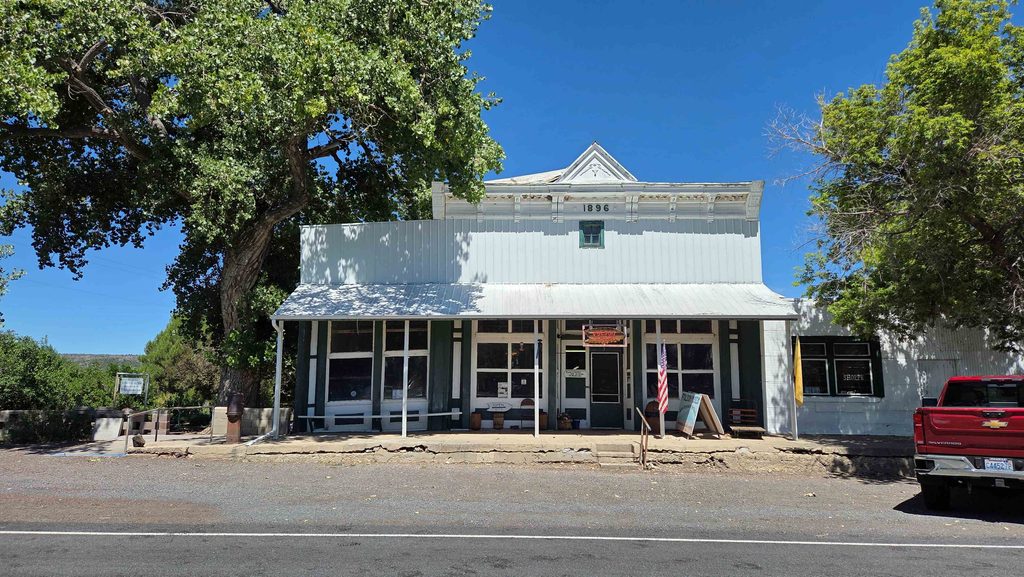
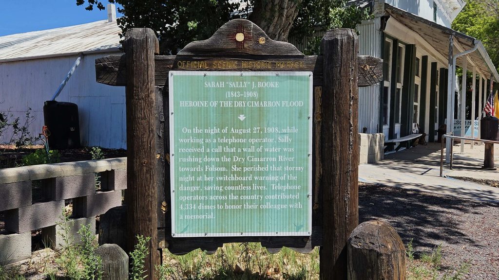
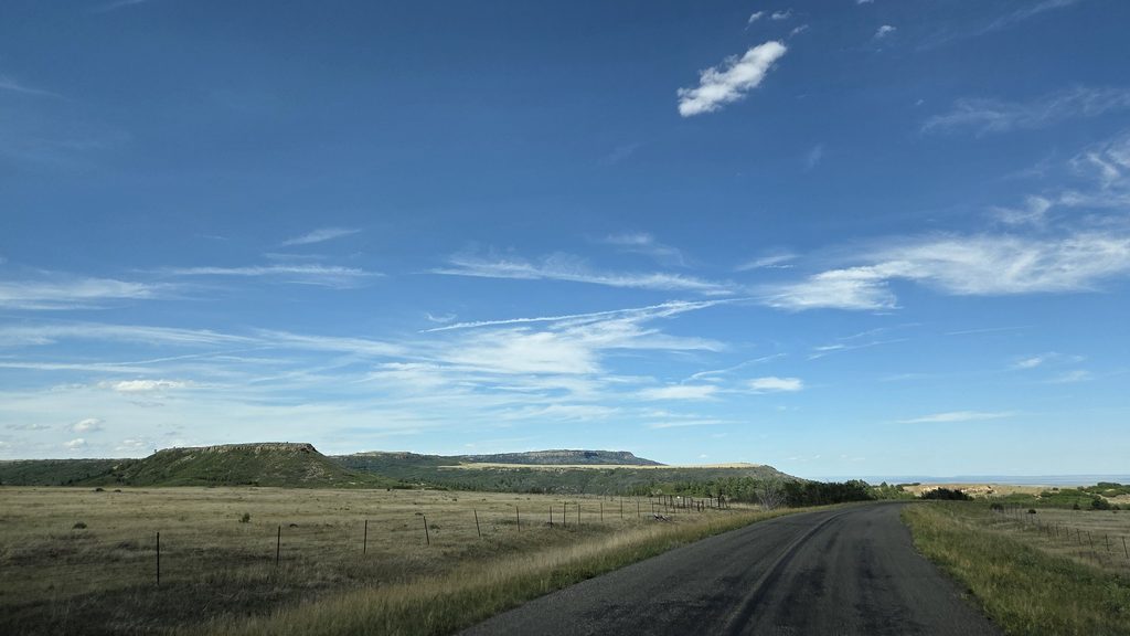
After our return to Calupin Volcano, we went to the Folsom Museum, where we got another private tour. Fascinating story of George McJunkin, born into slavery in Texas, largely self taught, successful rancher, prize winning rodeo (and real) cowboy, who found the evidence of Folsum Man. Also, a recognition of an unsung female hero, Sally Rooke. She was a telephone operator who stayed at the switchboard warning people of the impending 1908 Dry Cimarron Flood, and one of only a few she didn’t save (the same flood that unearthed the Folsom Man evidence). Her body was found ~8 miles downstream, with a phone still in her hand. OH! And Black Jack Ketchum, bank robber, whose head came off when they finally caught him and hung him. Leaving Folsom, we took the longer, more scenic route back over Johnson Mesa.
1 Comment
Ernie · August 27, 2026 at 12:46 pm
Thanks for the Ft Lanerd info. Have a safe trip home